Seele
Seele is a waterfall in Berkeley Heights Township, Union County, New Jersey. Seele is situated nearby to Unnamed cliff jumping spot, as well as near Old Mill Ruins.| Tap on a place to explore it |
Places of Interest Nearby
Highlights include Cinemark Watchung and XD and Shady Rest Country Club.
Cinemark Watchung and XD
Movie theater

Photo: Curlyrnd, CC BY-SA 4.0.
Cinemark Watchung and XD is a movie theater, which is situated 1½ miles south of Seele.
Shady Rest Country Club
Golf course

Photo: Zeete, CC BY-SA 4.0.
The Shady Rest Country Club is located at 820 Jerusalem Road in Scotch Plains in Union County, New Jersey. Established in 1921, Shady Rest was the first African-American country club in the United States. Shady Rest Country Club is situated 1½ miles southeast of Seele.
Scotch Plains Baptist Church
Church

Photo: KLOTZ, CC BY-SA 4.0.
The Scotch Plains Baptist Church is a historic Baptist church located at Park Avenue in Scotch Plains, New Jersey. It was added to the National Register of Historic Places as part of the Scotch Plains Baptist Church, Parsonage, and Cemetery listing on June 14, 2013. Scotch Plains Baptist Church is situated 1 mile south of Seele.
Places in the Area
Nearby places include Scotch Plains and Murray Hill.
Scotch Plains

Photo: Jared Kofsky, CC BY-SA 4.0.
Scotch Plains is a town in Union County, New Jersey. This article also covers the neighboring communities of Fanwood and Plainfield.
Murray Hill
Neighborhood
Murray Hill is an unincorporated community located within portions of both Berkeley Heights and New Providence, located in Union County, in the northern portion of the U.S. state of New Jersey. Murray Hill is situated 2 miles north of Seele.
Fanwood
Town
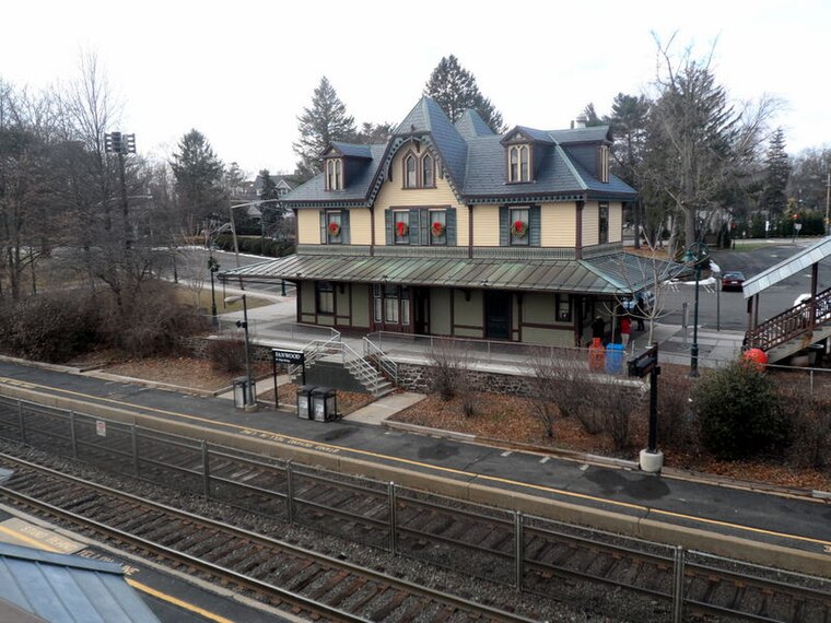
Photo: Jared Kofsky, CC BY-SA 4.0.
Scotch Plains is a town in Union County, New Jersey. This article also covers the neighboring communities of Fanwood and Plainfield. Fanwood is situated 2 miles southeast of Seele.
Seele
- Type: Waterfall
- Category: body of water
- Location: Berkeley Heights Township, Union County, Gateway, New Jersey, Mid-Atlantic, United States, North America
- View on OpenStreetMap
Latitude
40.66727° or 40° 40′ 2″ northLongitude
-74.40328° or 74° 24′ 12″ westOpen location code
87G7MH8W+WMOpenStreetMap ID
node 7697739326OpenStreetMap feature
waterway=waterfall
This page is based on OpenStreetMap, Wikidata, and Wikimedia Commons.
We’d love your help improving our open data sources. Thank you for contributing.
Satellite Map
Discover Seele from above in high-definition satellite imagery.
Places with the Same Name
Discover other places named “Seele”.
Notable Places Nearby
Highlights include Seeleys Pond and Unnamed cliff jumping spot.
Nearby Places
Explore places such as Green Brook at Seeley Mills and Seeley’s Pond Gazebo.
Union County: Must-Visit Destinations
Delve into Elizabeth, Summit, Linden, and Rahway.
Curious Waterfalls to Discover
Uncover intriguing waterfalls from every corner of the globe.
About Mapcarta. Data © OpenStreetMap contributors and available under the Open Database License". Text is available under the CC BY-SA 4.0 license, except for photos, directions, and the map. Photo: Wikimedia, CC0.