Gertraudskogel
Gertraudskogel is a church in Sankt Jakob im Rosental, Villach-Land District, Carinthia. Gertraudskogel is situated nearby to Rosentaler Hof Parkplatz, as well as near the reservoir Beschneiungsteich St. Jakob.| Tap on a place to explore it |
Places of Interest Nearby
Highlights include Burgruine Ras and Filialkirche Heiliger Johannes, Rosegg.
Burgruine Ras
Castle

Photo: Naturpuur, CC BY-SA 4.0.
Burgruine Ras is a ruined castle in Carinthia, Austria. It was first documented in 1171. Only the remnants of an encompassing wall and two round towers are present today. Burgruine Ras is situated 1½ km south of Gertraudskogel.
Filialkirche Heiliger Johannes, Rosegg
Church

Photo: Johann Jaritz, CC BY-SA 3.0 at.
Filialkirche Heiliger Johannes, Rosegg is a church, which is situated 1¼ km west of Gertraudskogel.
Parish church Saint James, St. Jakob im Rosental
Church

Photo: Johann Jaritz, CC BY-SA 3.0.
Parish church Saint James, St. Jakob im Rosental is situated 1½ km southeast of Gertraudskogel.
Places in the Area
Nearby places include Dieschitz and Velden.
Dieschitz
Village

Photo: Naturpuur, CC BY-SA 4.0.
Dieschitz is an Austrian village in the municipality of Velden am Wörthersee, Villach, Carinthia.
Velden

Photo: Johann Jaritz, CC BY-SA 4.0.
Velden am Wörther See is a market town in Villach-Land District, in the Austrian state of Carinthia. Situated on the western shore of the Wörthersee lake, it is one of the country's most popular holiday resorts.
Schiefling am Wörthersee
Village
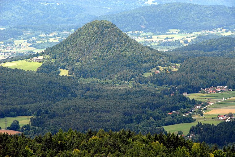
Photo: Johann Jaritz, CC BY-SA 3.0 at.
Schiefling am Wörthersee is a market town in the district of Klagenfurt-Land in the Austrian state of Carinthia. Schiefling am Wörthersee is situated 7 km northeast of Gertraudskogel.
Gertraudskogel
- Type: Church
- Denomination: Catholic
- Categories: place of worship and religion
- Location: Sankt Jakob im Rosental, Villach-Land District, Carinthia, Austria, Central Europe, Europe
- View on OpenStreetMap
Latitude
46.55902° or 46° 33′ 33″ northLongitude
14.03841° or 14° 2′ 18″ eastOpen location code
8FRPH25Q+J9OpenStreetMap ID
node 772474357OpenStreetMap feature
amenity=place_of_worshipOpenStreetMap attribute
denomination=catholic
This page is based on OpenStreetMap, Wikidata, and Wikimedia Commons.
We’d love your help improving our open data sources. Thank you for contributing.
Satellite Map
Discover Gertraudskogel from above in high-definition satellite imagery.
Notable Places Nearby
Highlights include Rosentaler Hof Parkplatz and Beschneiungsteich St. Jakob.
Nearby Places
Explore places such as Srajach and Srajach.
Carinthia: Must-Visit Destinations
Delve into Klagenfurt, Villach, Wörthersee, and Spittal an der Drau.
Curious Churches to Discover
Uncover intriguing churches from every corner of the globe.
About Mapcarta. Data © OpenStreetMap contributors and available under the Open Database License". Text is available under the CC BY-SA 4.0 license, except for photos, directions, and the map. Photo: Wikimedia, CC BY-SA 3.0.