Racó dels Sants
Racó dels Sants is a locality in Finestrat, Alicante, Valencian Community. Racó dels Sants is situated nearby to the locality Carreres, as well as near Pla de la Cova del Cremat.| Tap on a place to explore it |
Places of Interest
Highlights include Puig Campana and Magnus Colossus.
Puig Campana
Peak

Photo: Rodelar, CC BY-SA 3.0.
Puig Campana is a mountain forming part of the Prebaetic System in the southeast of Spain. With an altitude of 1,406 metres, it is the second-highest peak in the province of Alicante.
Magnus Colossus
Roller coaster
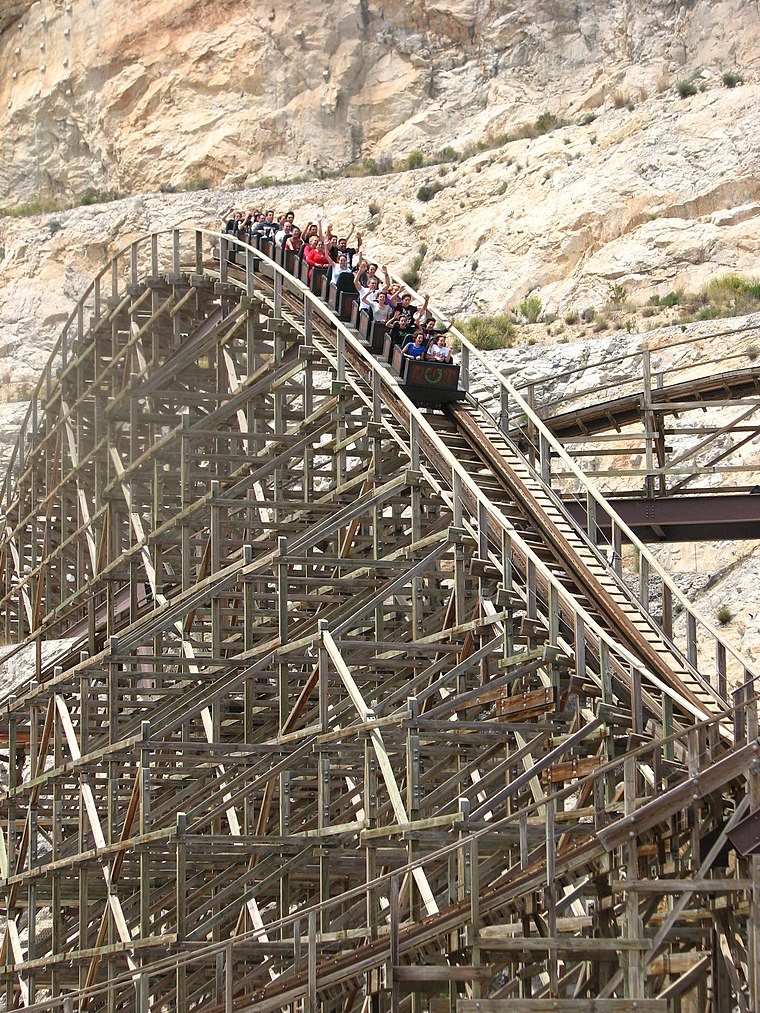
Photo: Jeremy Thompson, CC BY 2.0.
Magnus Colossus is a roller coaster, which is situated 4 km south of Racó dels Sants.
Places in the Area
Nearby places include Finestrat and La Nucia.
Finestrat
Village

Photo: Joanbanjo, CC BY-SA 4.0.
Finestrat is a municipality in the comarca of Marina Baixa, Alicante in the Valencian Community, Spain. Finestrat is situated 4 km southwest of Racó dels Sants.
La Nucia
Town

Photo: Ebrozetta, CC BY-SA 3.0.
La Nucia is a municipality in the comarca of Marina Baixa, Alicante, Valencian Community, Spain. It borders the municipalities of Altea, Callosa d'En Sarrià, Benidorm, Polop and L'Alfàs del Pi. La Nucia is situated 5 km northeast of Racó dels Sants.
Polop
Village

Photo: Wikimedia, CC BY-SA 4.0.
Polop de la Marina, or briefly Polop, is a municipality in the comarca of Marina Baixa, Alicante, Valencian Community, Spain. Polop is situated 6 km northeast of Racó dels Sants.
Racó dels Sants
- Type: Locality
- Location: Finestrat, Alicante, Valencian Community, Eastern Spain, Spain, Iberia, Europe
- View on OpenStreetMap
Latitude
38.59357° or 38° 35′ 37″ northLongitude
-0.1801° or 0° 10′ 48″ westOpen location code
8CCXHRV9+CXOpenStreetMap ID
node 7768278088OpenStreetMap feature
place=locality
This page is based on OpenStreetMap, Wikidata, and Wikimedia Commons.
We’d love your help improving our open data sources. Thank you for contributing.
Satellite Map
Discover Racó dels Sants from above in high-definition satellite imagery.
In Other Languages
“Racó dels Sants” goes by many names.
- Catalan: “Racó dels Sants”
Localities in the Area
Explore places such as Carreres and Pla de la Cova del Cremat.
Notable Places Nearby
Highlights include Penyó del Lledoner and Cova del Cremat.
Alicante: Must-Visit Destinations
Delve into Alicante, Elche, Benidorm, and Torrevieja.
Curious Localities to Discover
Uncover intriguing localities from every corner of the globe.
About Mapcarta. Data © OpenStreetMap contributors and available under the Open Database License". Text is available under the CC BY-SA 4.0 license, except for photos, directions, and the map. Photo: Poco a poco, CC BY 3.0.