penyal del Colomer
penyal del Colomer is a locality in Deia, Balearic Islands. penyal del Colomer is situated nearby to the locality sa Casa Nova, as well as near Can Miquelet.| Tap on a place to explore it |
Places of Interest
Highlights include Puig del Moro and Puig de la Galera.


Far del Cap Gros
Lighthouse
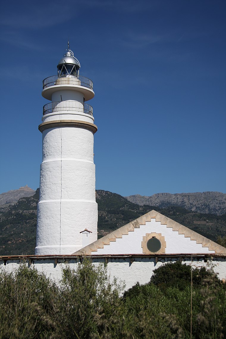
Photo: Wo st 01, CC BY-SA 3.0 de.
Far del Cap Gros is a lighthouse, which is situated 3½ km northeast of penyal del Colomer.
Places in the Area
Nearby places include Llucalcari and Son Bauçà.

Son Bauçà
Locality

Photo: Wikimedia, CC BY-SA 3.0.
Son Bauçà is a locality, which is situated 3 km southwest of penyal del Colomer.
Port de Sóller
Village

Photo: BuzzWoof, Public domain.
Port de Sóller is a village and the port of the town of Sóller, in Mallorca, in the Balearic Islands, Spain. Along with the village of Fornalutx and the hamlet of Biniaraix they combine to form Sóller. Port de Sóller is situated 4 km northeast of penyal del Colomer.
penyal del Colomer
- Type: Locality
- Location: Deia, Balearic Islands, Spain, Iberia, Europe
- View on OpenStreetMap
Latitude
39.77166° or 39° 46′ 18″ northLongitude
2.66157° or 2° 39′ 42″ eastOpen location code
8FF4QMC6+MJOpenStreetMap ID
node 7769371309OpenStreetMap feature
place=locality
This page is based on OpenStreetMap, Wikidata, and Wikimedia Commons.
We’d love your help improving our open data sources. Thank you for contributing.
Satellite Map
Discover penyal del Colomer from above in high-definition satellite imagery.
In Other Languages
“penyal del Colomer” goes by many names.
- Catalan: “penyal del Colomer”
Localities in the Area
Explore places such as sa Casa Nova and Can Miquelet.
Notable Places Nearby
Highlights include Font de sa Casa Nova and Font de ses Mentides.
Balearic Islands: Must-Visit Destinations
Delve into Palma de Mallorca, Formentera, Ibiza, and Maó.
Curious Localities to Discover
Uncover intriguing localities from every corner of the globe.
About Mapcarta. Data © OpenStreetMap contributors and available under the Open Database License". Text is available under the CC BY-SA 4.0 license, except for photos, directions, and the map. Photo: anieto2k, CC BY-SA 2.0.