Radstation Pfälzer Ufer
Radstation Pfälzer Ufer is a bicycle repair station in Saxony-Anhalt, Germany. Radstation Pfälzer Ufer is situated nearby to the church Neuapostolische Kirche Halle, as well as near the hotel Hostel No5.| Tap on a place to explore it |
Places of Interest Nearby
Highlights include Moritzburg and Neuapostolische Kirche Halle.
Moritzburg
Castle

Photo: DerHallenser, CC BY-SA 4.0.
The Moritzburg is a fortified castle in Halle, Germany. The cornerstone of what would later become the residence of the Archbishops of Magdeburg was laid in 1484; the castle was built in the style of the Early Renaissance. Moritzburg is situated 250 metres northeast of Radstation Pfälzer Ufer.
Neuapostolische Kirche Halle
Church

Photo: Wikimedia, CC BY-SA 3.0.
Neuapostolische Kirche Halle is a church.
Halle Cathedral
Church
 Halle Cathedral is an Evangelical Reformed Church, and is the oldest surviving church in the old part of the city Halle, Saale. Beside it resided the Archbishop of Magdeburg, who ruled the city for a long period. Halle Cathedral is situated 280 metres east of Radstation Pfälzer Ufer.
Places in the Area
Nearby places include Nördliche Innenstadt and Altstadt.


Halle
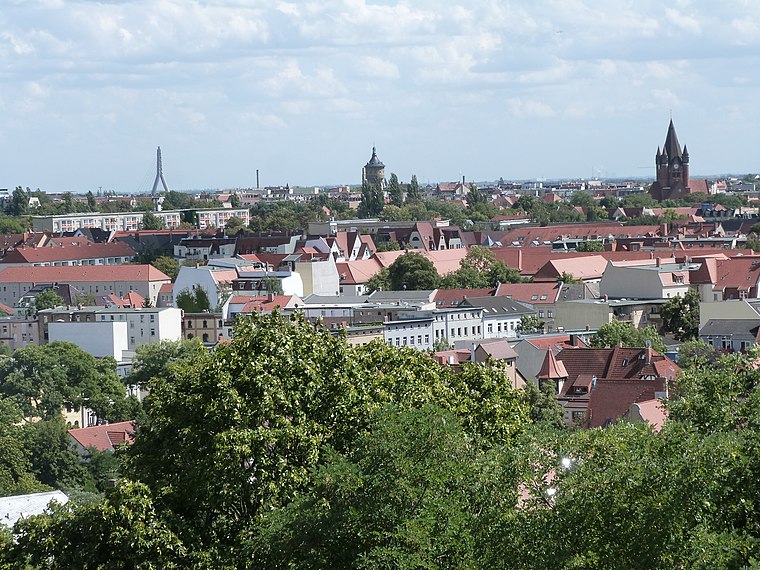
Photo: Catatine, CC BY-SA 4.0.
Halle is the largest city in Saxony-Anhalt, Germany with a population of 233,700. Located on the river Saale, it is often referred to as Halle an der Saale, or Halle for short, to distinguish it from other municipalities in Germany sharing the same name.
Radstation Pfälzer Ufer
- Opening hours: 24/7
- Type: Bicycle repair station
- Category: transportation
- Location: Saxony-Anhalt, Germany, Central Europe, Europe
- View on OpenStreetMap
Latitude
51.48524° or 51° 29′ 7″ northLongitude
11.96071° or 11° 57′ 39″ eastBrand
ibombo.comOperator
Stadt HalleOpen location code
9F3HFXP6+37OpenStreetMap ID
node 7804121857OpenStreetMap feature
amenity=bicycle_repair_station
This page is based on OpenStreetMap, Wikidata, and Wikimedia Commons.
We’d love your help improving our open data sources. Thank you for contributing.
Satellite Map
Discover Radstation Pfälzer Ufer from above in high-definition satellite imagery.
Notable Places Nearby
Highlights include Hostel No5 and Appartementhaus am Dom.
Nearby Places
Explore places such as Sonnendeck and Il Gelato.
Saxony-Anhalt: Must-Visit Destinations
Delve into Magdeburg, Halle, Wittenberg, and Quedlinburg.
Curious Bicycle Repair Stations to Discover
Uncover intriguing bicycle repair stations from every corner of the globe.
About Mapcarta. Data © OpenStreetMap contributors and available under the Open Database License". Text is available under the CC BY-SA 4.0 license, except for photos, directions, and the map. Photo: GMM, Public domain.