Strandflieder
Strandflieder is an apartment in Norden, Aurich, Lower Saxony. Strandflieder is situated nearby to Märchenschiff, as well as near the park Rätsel-Irrgarten-Norddeich.| Tap on a place to explore it |
Places of Interest Nearby
Highlights include Norddeich station and Norddeich Mole station.
Norddeich station
Railway station
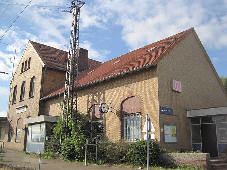
Photo: Stefan Flöper, CC BY-SA 4.0.
Norddeich is a railway station located in Norddeich, Lower Saxony, Germany. The station lies on the Emsland Railway and the train services are operated by Deutsche Bahn. Norddeich station is situated 1½ km north of Strandflieder.
Norddeich Mole station
Railway stop
 Norddeich Mole is a railway station located in Norddeich, Lower Saxony, Germany. The station is located on the Emsland Railway. The train services are operated by Deutsche Bahn. Norddeich Mole station is situated 2 km north of Strandflieder.
Neues Rathaus (Norden)
Town hall

Photo: Iotatau, CC BY-SA 3.0.
Neues Rathaus (Norden) is a town hall, which is situated 3 km southeast of Strandflieder.
Places in the Area
Nearby places include Norden Norddeich and Bargebur.
Norden Norddeich

Photo: Mey2008, CC BY-SA 3.0.
Norden-Norddeich is a nice old North-Sea seaside town in the Eastern Frisia region of Lower Saxony in Germany. It is visited by many people, who spend their vacation there.
Bargebur
Suburb

Photo: Frisia Orientalis, CC BY-SA 3.0.
Bargebur is an urban quarter in the east of the borough of Norden, northwestern Germany, and has a population of around 500, who inhabit an area of just 0.65 km². Bargebur is situated 4 km southeast of Strandflieder.
Strandflieder
- Type: Apartment
- Wheelchair access: no
- Categories: tourism, accommodation, and building
- Location: Norden, Aurich, Lower Saxony, Germany, Central Europe, Europe
- View on OpenStreetMap
Latitude
53.60823° or 53° 36′ 30″ northLongitude
7.16427° or 7° 9′ 51″ eastOpen location code
9F59J557+7POpenStreetMap ID
node 7850832972OpenStreetMap feature
tourism=apartmentOpenStreetMap attribute
wheelchair=no
This page is based on OpenStreetMap, Wikidata, and Wikimedia Commons.
We’d love your help improving our open data sources. Thank you for contributing.
Satellite Map
Discover Strandflieder from above in high-definition satellite imagery.
Notable Places Nearby
Highlights include Märchenschiff and Rätsel-Irrgarten-Norddeich.
Nearby Places
Explore places such as Sternenhimmel and Pusteblume.
Lower Saxony: Must-Visit Destinations
Delve into Hanover, Göttingen, Brunswick, and Wolfsburg.
Curious Apartments to Discover
Uncover intriguing apartments from every corner of the globe.
About Mapcarta. Data © OpenStreetMap contributors and available under the Open Database License". Text is available under the CC BY-SA 4.0 license, except for photos, directions, and the map. Photo: Danapit, CC BY-SA 3.0.