Église de Mijoux
Église de Mijoux is in Mijoux, Arrondissement of Gex, Auvergne-Rhône-Alpes. Église de Mijoux is situated nearby to the church Église Saint-Jacques-Saint-Christophe de Mijoux, as well as near the tourism office Office de tourisme.| Tap on a place to explore it |
Places of Interest Nearby
Highlights include Église Saint-Jacques-Saint-Christophe de Mijoux and Col de la Faucille.
Église Saint-Jacques-Saint-Christophe de Mijoux
Church

Photo: Chabe01, CC BY-SA 4.0.
Église Saint-Jacques-Saint-Christophe de Mijoux is a church.
Col de la Faucille
Mountain saddle

Photo: Wikimedia, CC BY-SA 3.0.
Col de la Faucille is a high mountain pass in the department of Ain in the French Jura Mountains. It connects the town of Gex in Ain to the towns of Les Rousses and Saint-Claude in the department of Jura.
Lac de Lamoura
Lake

Photo: Juraastro, CC BY-SA 3.0.
Lac de Lamoura is a lake at Lamoura in the Jura department of France. It is the highest lake in the Jura at an elevation of 1156 metres. Lac de Lamoura is situated 3 km north of Église de Mijoux.
Places in the Area
Nearby places include Lajoux and Lamoura.
Lajoux
Village

Photo: Prankster, Public domain.
Lajoux is a commune in the Jura department in Bourgogne-Franche-Comté in eastern France.
Lamoura
Village
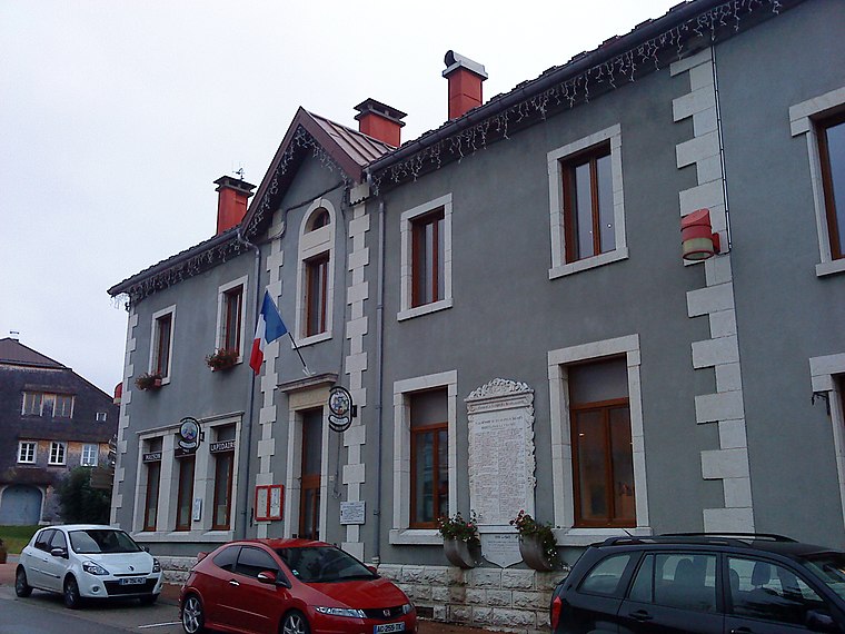
Photo: Patrub01, CC BY-SA 3.0.
Lamoura is a commune in the Jura department in Bourgogne-Franche-Comté in eastern France. Lamoura is situated 3½ km northwest of Église de Mijoux.
Gex
Town

Photo: Chabe01, CC BY-SA 4.0.
Gex is a commune in the Ain department in eastern France and a subprefecture of the department. It lies 5 km from the Swiss border and 16 km from Geneva. It is a subprefecture of Ain. Gex is situated 6 km southeast of Église de Mijoux.
Église de Mijoux
- Type: Sign
- Categories: information and tourism
- Location: Mijoux, Arrondissement of Gex, Ain, Auvergne-Rhône-Alpes, France, Europe
- View on OpenStreetMap
Latitude
46.36812° or 46° 22′ 5″ northLongitude
5.994° or 5° 59′ 38″ eastOpen location code
8FR79X9V+6HOpenStreetMap ID
node 7878355305OpenStreetMap feature
tourism=information
This page is based on OpenStreetMap, Wikidata, and Wikimedia Commons.
We’d love your help improving our open data sources. Thank you for contributing.
Satellite Map
Discover Église de Mijoux from above in high-definition satellite imagery.
Notable Places Nearby
Highlights include Office de tourisme and Place du 11 juillet 1910.
Nearby Places
Explore places such as Sherpa and Mijoux.
Auvergne-Rhône-Alpes: Must-Visit Destinations
Delve into Lyon, Grenoble, Clermont-Ferrand, and Saint-Étienne.
Curious Places to Discover
Uncover intriguing places from every corner of the globe.
About Mapcarta. Data © OpenStreetMap contributors and available under the Open Database License". Text is available under the CC BY-SA 4.0 license, except for photos, directions, and the map. Photo: Inkey, CC BY-SA 3.0.