Wendell J . Butt Funeral Home
Wendell J . Butt Funeral Home is a funeral home in City of Concord, Merrimack Valley, New Hampshire. Wendell J . Butt Funeral Home is situated nearby to Penacook Riverside Park, as well as near Immaculate Conception Church.| Tap on a place to explore it |
Places of Interest Nearby
Highlights include Merrimack Valley High School.
Merrimack Valley High School
School

Photo: Cooljeanius, CC BY-SA 3.0.
Merrimack Valley is a four-year high school located in Penacook, a village in the northern part of Concord, New Hampshire. The school has approximately 900 students and serves the communities of Andover, Boscawen, Loudon, Penacook, Salisbury, and Webster. Merrimack Valley High School is situated 3,400 feet southeast of Wendell J . Butt Funeral Home.
Places in the Area
Nearby places include Penacook and Boscawen.
Penacook
Village

Photo: Wikimedia, Public domain.
Penacook, originally called "Fisherville", is a village within the city of Concord in Merrimack County, New Hampshire, United States. It lies along Concord's northern border with Boscawen.
Boscawen
Village

Photo: Craig Michaud, CC BY 3.0.
Boscawen is a town in Merrimack County, New Hampshire, United States. The population was 3,998 at the 2020 census. Boscawen is situated 2½ miles north of Wendell J . Butt Funeral Home.
Canterbury
Village
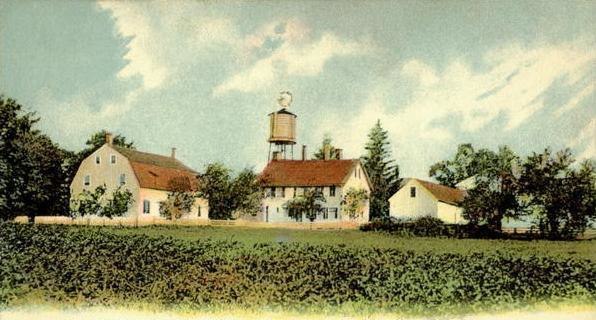
Photo: Wikimedia, Public domain.
Canterbury is a town in Merrimack County, New Hampshire, United States. The population was 2,389 at the 2020 census. The Canterbury Shaker Village is in the eastern part of the town. Canterbury is situated 4½ miles northeast of Wendell J . Butt Funeral Home.
Wendell J . Butt Funeral Home
- Type: Funeral home
- Category: shop
- Location: City of Concord, Merrimack Valley, New Hampshire, New England, United States, North America
- View on OpenStreetMap
Latitude
43.27798° or 43° 16′ 41″ northLongitude
-71.60219° or 71° 36′ 8″ westOpen location code
87MC79HX+54OpenStreetMap ID
node 7900586585OpenStreetMap feature
shop=funeral_directors
This page is based on OpenStreetMap, Wikidata, and Wikimedia Commons.
We’d love your help improving our open data sources. Thank you for contributing.
Satellite Map
Discover Wendell J . Butt Funeral Home from above in high-definition satellite imagery.
Notable Places Nearby
Highlights include Penacook Riverside Park and Immaculate Conception Church.
Nearby Places
Explore places such as Capitol Alarm Systems and Merrimack Valley Learning Center.
Merrimack Valley: Must-Visit Destinations
Delve into Concord, Manchester, Nashua, and Franklin.
Curious Funeral Homes to Discover
Uncover intriguing funeral homes from every corner of the globe.
About Mapcarta. Data © OpenStreetMap contributors and available under the Open Database License". Text is available under the CC BY-SA 4.0 license, except for photos, directions, and the map. Photo: Wikimedia, CC0.