Beim Rainbrunnen
Beim Rainbrunnen is in Beuron, Sigmaringen, Baden-Württemberg. Beim Rainbrunnen is situated nearby to the castle Burg Falkenstein, as well as near Unterfalkenstein.| Tap on a place to explore it |
Places of Interest Nearby
Highlights include Burg Falkenstein and Unterfalkenstein.
Burg Falkenstein
Castle
 Burg Falkenstein is a castle, which is situated 540 metres north of Beim Rainbrunnen.
Unterfalkenstein
Castle
 Unterfalkenstein is a castle, which is situated 560 metres north of Beim Rainbrunnen.
Burg Linzenberg
Castle
 Burg Linzenberg is a castle, which is situated 1½ km west of Beim Rainbrunnen.
Places in the Area
Nearby places include Thiergarten and Neidingen.

Neidingen
Hamlet
Neidingen is a German village with approximately 100 inhabitants and part of the municipality of Beuron, in Baden-Württemberg. The village is historically important as health retreat and place of death of Emperor Charles the Fat whose death ends the Carolingian Empire the last of the great Frankish kingdoms of the Early Middle Ages. Neidingen is situated 2½ km northwest of Beim Rainbrunnen.
Kreenheinstetten
Village
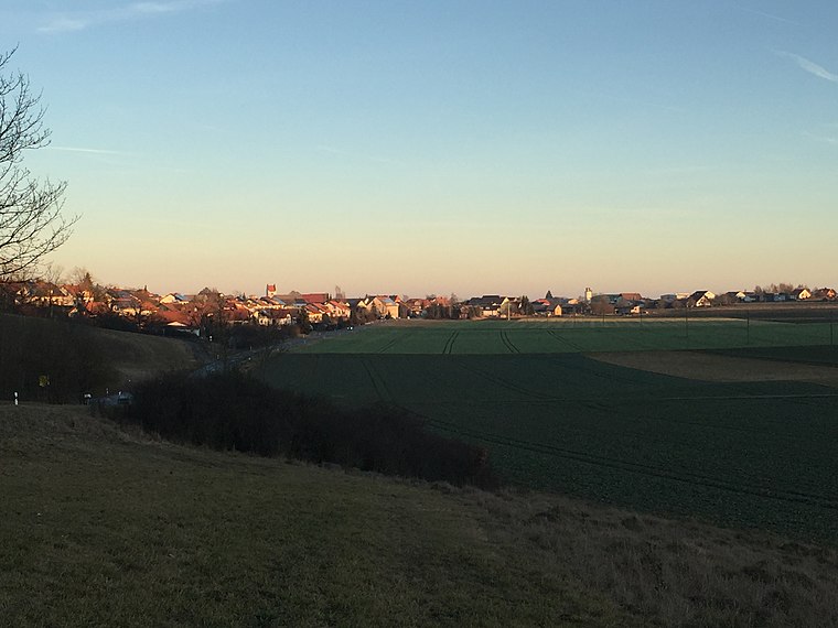
Photo: Zollernalb, CC BY-SA 4.0.
Kreenheinstetten is a village located in the district of Sigmaringen in Germany. Kreenheinstetten is situated 3½ km southwest of Beim Rainbrunnen.
Beim Rainbrunnen
- Type: Sign
- Categories: information and tourism
- Location: Beuron, Sigmaringen, Tübingen Region, Baden-Württemberg, Germany, Central Europe, Europe
- View on OpenStreetMap
Latitude
48.07876° or 48° 4′ 44″ northLongitude
9.08367° or 9° 5′ 1″ eastElevation
592 metres (1,942 feet)Operator
Schwäbischer AlbvereinOpen location code
8FWF33HM+GFOpenStreetMap ID
node 7905493814OpenStreetMap feature
tourism=information
This page is based on OpenStreetMap, Wikidata, and Wikimedia Commons.
We’d love your help improving our open data sources. Thank you for contributing.
Satellite Map
Discover Beim Rainbrunnen from above in high-definition satellite imagery.
Notable Places Nearby
Highlights include Falkendach and Little Big Horn.
Nearby Places
Explore places such as Am Lenzenberg and Hotel Gasthof Neumühle.
Baden-Württemberg: Must-Visit Destinations
Delve into Stuttgart, Heidelberg, Karlsruhe, and Mannheim.
Curious Places to Discover
Uncover intriguing places from every corner of the globe.
About Mapcarta. Data © OpenStreetMap contributors and available under the Open Database License". Text is available under the CC BY-SA 4.0 license, except for photos, directions, and the map. Photo: Traveler100, CC BY-SA 3.0.