Gradinita - Nr. 9
Gradinita - Nr. 9 is a kindergarten in Floreşti, Moldova. Gradinita - Nr. 9 is situated nearby to the church Biserica Înălțarea Domnului, as well as near the town hall Florești District Council.| Tap on a place to explore it |
Places in the Area
Nearby places include Florești and Vărvăreuca.
Florești
Town

Photo: Avereanu, CC BY-SA 3.0.
Florești is the capital city and industrial and commercial center of Floreşti District of Moldova. It is located on the river Răut.
Vărvăreuca
Village
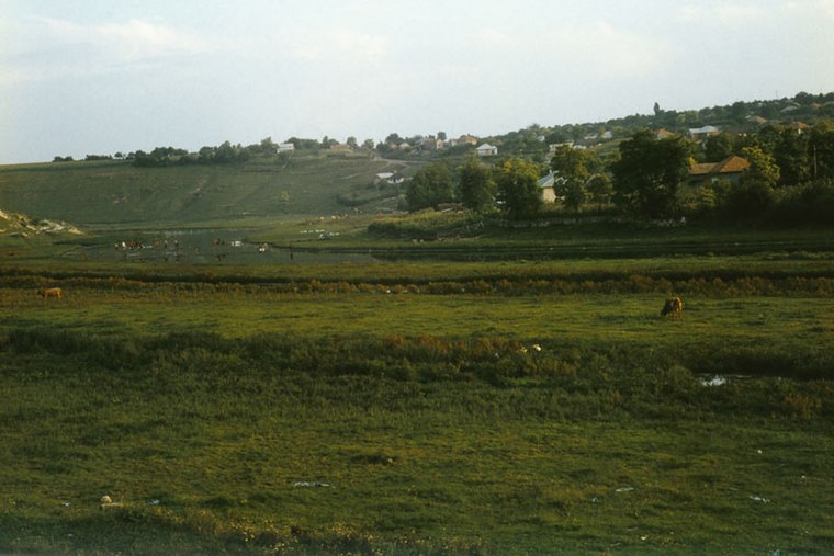
Photo: Ion Chibzii, CC BY-SA 2.0.
Vărvăreuca is a village, which is situated 2½ km southeast of Gradinita - Nr. 9.
Mărculești
Town

Photo: Avereanu, CC BY-SA 3.0.
Mărculești is a city in Florești District, in northern Moldova, with a population of 2,081 at the 2004 census. The city was once the site of a Jewish agricultural and mercantile colony until its destruction in the Holocaust. Mărculești is situated 5 km southwest of Gradinita - Nr. 9.
Gradinita - Nr. 9
- Type: Kindergarten
- Category: education
- Location: Floreşti, Moldova, Balkans, Europe
- View on OpenStreetMap
Latitude
47.90016° or 47° 54′ 1″ northLongitude
28.29567° or 28° 17′ 44″ eastOpen location code
8GVCW72W+37OpenStreetMap ID
node 7926156786OpenStreetMap feature
amenity=kindergarten
This page is based on OpenStreetMap, Wikidata, and Wikimedia Commons.
We’d love your help improving our open data sources. Thank you for contributing.
Satellite Map
Discover Gradinita - Nr. 9 from above in high-definition satellite imagery.
Notable Places Nearby
Highlights include Biserica Înălțarea Domnului and Florești District Council.
Nearby Places
Explore places such as Vento and Pamvel service srl.
Moldova: Must-Visit Destinations
Delve into Transnistria, Chișinău, Tiraspol, and Bălţi.
Curious Kindergartens to Discover
Uncover intriguing kindergartens from every corner of the globe.
About Mapcarta. Data © OpenStreetMap contributors and available under the Open Database License". Text is available under the CC BY-SA 4.0 license, except for photos, directions, and the map. Photo: USAID Digital Development, CC BY 2.0.