Pustritz Volksschule
Pustritz Volksschule is a bus stop in Griffen, Völkermarkt District, Carinthia. Pustritz Volksschule is situated nearby to the church Pfarrkirche in Pustritz, as well as near the fire station Freiwillige Feuerwehr Pustritz.| Tap on a place to explore it |
Places of Interest Nearby
Highlights include Pfarrkirche in Pustritz and Griffner Berg.
Pfarrkirche in Pustritz
Church

Photo: Mefusbren69, Public domain.
Pfarrkirche in Pustritz is a church.

Pfarrkirche hl. Georg, Lamm
Church
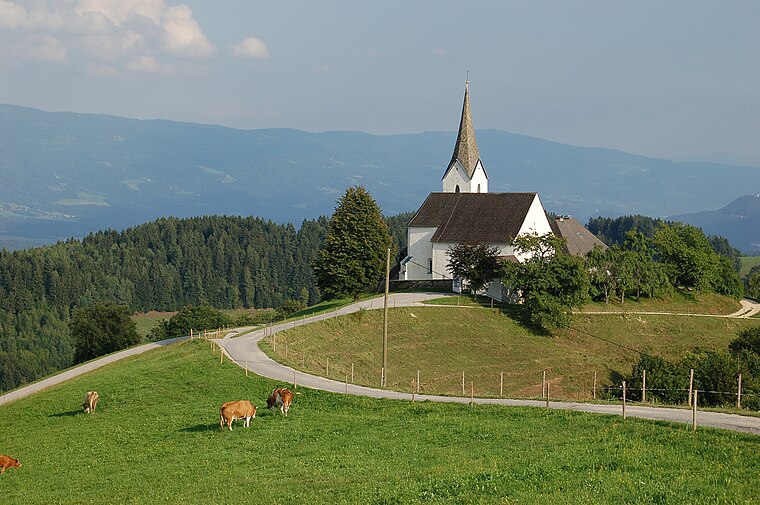
Photo: Baumdaemon, CC BY-SA 3.0 at.
Pfarrkirche hl. Georg, Lamm is a church, which is situated 3 km northeast of Pustritz Volksschule.
Places in the Area
Nearby places include Stift Griffen and Grafenbach.
Stift Griffen
Locality

Photo: Johann Jaritz, CC BY-SA 3.0 at.
Stift Griffen is a locality, which is situated 6 km southwest of Pustritz Volksschule.
Grafenbach
Village
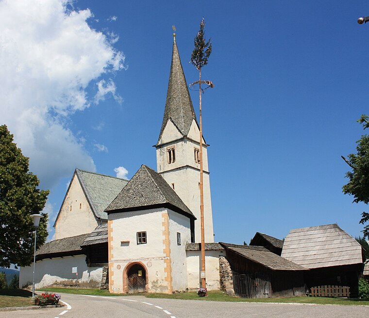
Photo: Mefusbren69, Public domain.
Grafenbach is a village, which is situated 6 km west of Pustritz Volksschule.
Diex
Village

Photo: Johann Jaritz, CC BY-SA 4.0.
Diex is a town in the district of Völkermarkt in Austrian state of Carinthia. It is known for its Gothic fortified church on a hilltop. Diex is situated 10 km west of Pustritz Volksschule.
Pustritz Volksschule
- Type: Bus stop
- Category: transportation
- Location: Griffen, Völkermarkt District, Carinthia, Austria, Central Europe, Europe
- View on OpenStreetMap
Latitude
46.74627° or 46° 44′ 47″ northLongitude
14.74526° or 14° 44′ 43″ eastOpen location code
8FRPPPWW+G4OpenStreetMap ID
node 7954718310OpenStreetMap feature
highway=bus_stopOpenStreetMap feature
public_transport=platform
This page is based on OpenStreetMap, Wikidata, and Wikimedia Commons.
We’d love your help improving our open data sources. Thank you for contributing.
Satellite Map
Discover Pustritz Volksschule from above in high-definition satellite imagery.
Notable Places Nearby
Highlights include Freiwillige Feuerwehr Pustritz and Rennerkogel.
Nearby Places
Explore places such as Pustritz Volksschule and Kriegerdenkmal.
Carinthia: Must-Visit Destinations
Delve into Klagenfurt, Villach, Wörthersee, and Spittal an der Drau.
Curious Bus Stops to Discover
Uncover intriguing bus stops from every corner of the globe.
About Mapcarta. Data © OpenStreetMap contributors and available under the Open Database License". Text is available under the CC BY-SA 4.0 license, except for photos, directions, and the map. Photo: Wikimedia, CC BY-SA 3.0.