Alto da Telha
Alto da Telha is a bus stop in Alto do Seixalinho, Santo André e Verderena, Barreiro, Setúbal District. Alto da Telha is situated nearby to the government office Serviço Municipal de Proteção Civil, as well as near the park Parque dos Sete Portais.| Tap on a place to explore it |
Places of Interest Nearby
Highlights include Lavradio train station and Barreiro-A halt.
Lavradio train station
Railway station

Photo: Rúdisicyon, CC BY-SA 4.0.
Lavradio train station is a railway station, which is situated 2½ km north of Alto da Telha.
Barreiro-A halt
Railway station

Photo: Rúdisicyon, CC BY-SA 4.0.
Barreiro-A halt is a railway station, which is situated 2½ km northwest of Alto da Telha.
Alhos Vedros Halt
Railway station

Photo: Rúdisicyon, CC BY-SA 4.0.
Alhos Vedros Halt is a railway station, which is situated 3 km northeast of Alto da Telha.
Places in the Area
Nearby places include Santo André and Freguesia de Baixa da Banheira.

Freguesia de Baixa da Banheira
Town
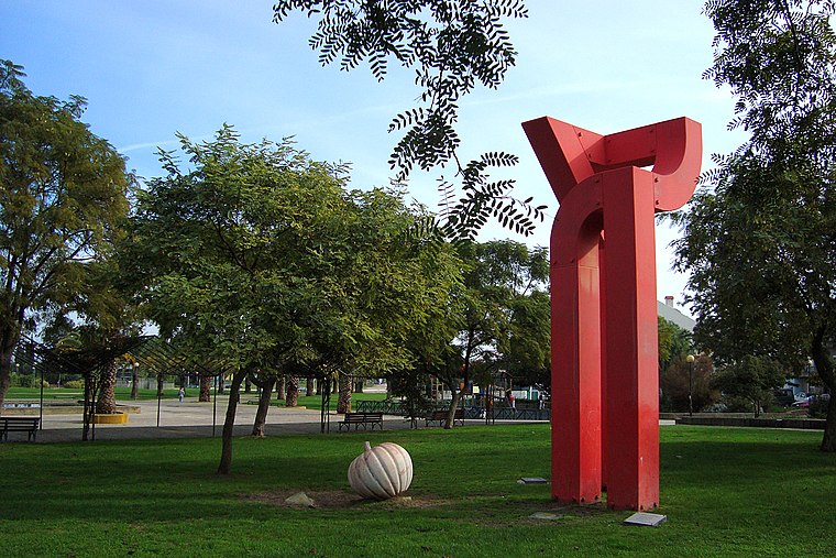
Photo: Xuaxo, CC BY-SA 3.0.
Freguesia de Baixa da Banheira is a town.
Santo António da Charneca
Village

Photo: Filipefirix, Public domain.
Santo António da Charneca is a civil parish in the municipality of Barreiro, Portugal. The population in 2011 was 11,536. Santo António da Charneca is situated 2½ km southeast of Alto da Telha.
Alto da Telha
- Type: Bus stop
- Also known as: “Telha Velha (EN 10-3) Depósito Água”
- Category: transportation
- Location: Alto do Seixalinho, Santo André e Verderena, Barreiro, Setúbal District, Portugal, Iberia, Europe
- View on OpenStreetMap
Latitude
38.63953° or 38° 38′ 22″ northLongitude
-9.05539° or 9° 3′ 19″ westNetwork
Carris MetropolitanaOpen location code
8CCGJWQV+RROpenStreetMap ID
node 7985777953OpenStreetMap feature
highway=bus_stopOpenStreetMap feature
public_transport=platform
This page is based on OpenStreetMap, Wikidata, and Wikimedia Commons.
We’d love your help improving our open data sources. Thank you for contributing.
Satellite Map
Discover Alto da Telha from above in high-definition satellite imagery.
Notable Places Nearby
Highlights include Serviço Municipal de Proteção Civil and Parque dos Sete Portais.
Nearby Places
Explore places such as Alto da Telha and BP.
Portugal: Must-Visit Destinations
Delve into Lisbon, Caldas da Rainha, Porto, and Coimbra.
Curious Bus Stops to Discover
Uncover intriguing bus stops from every corner of the globe.
About Mapcarta. Data © OpenStreetMap contributors and available under the Open Database License". Text is available under the CC BY-SA 4.0 license, except for photos, directions, and the map. Photo: Vitor Oliveira, CC BY-SA 2.0.