Herrschinger Tafel
Herrschinger Tafel is a social service facility in Herrsching a.Ammersee, Starnberg, Bavaria. Herrschinger Tafel is situated nearby to the railway station Herrsching station, as well as near the tourism office Touristen Information Herrsching (Verkehrs-Zentrale).| Tap on a place to explore it |
Places of Interest Nearby
Highlights include Herrsching station and Kurparkschlösschen.
Herrsching station
Railway station

Photo: Flummi-2011, CC BY-SA 4.0.
Herrsching station is a railway station on the Munich S-Bahn in the town of Herrsching am Ammersee in the southwest area of Munich, Germany. It is served by the S-Bahn line S8.
Kurparkschlösschen

Photo: Shyof, CC BY-SA 3.0.
Kurparkschlösschen is situated 360 metres southwest of Herrschinger Tafel.
St. Nikolaus
Church

Photo: Ricardalovesmonuments, CC BY 4.0.
St. Nikolaus is a church, which is situated 330 metres east of Herrschinger Tafel.
Places in the Area
Nearby places include Herrsching am Ammersee and Mühlfeld.
Herrsching am Ammersee
Town
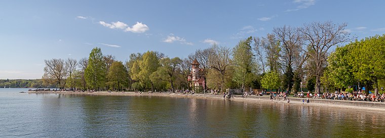
Photo: Wikimedia, CC BY-SA 3.0.
Herrsching am Ammersee is a municipality in Upper Bavaria, Germany, on the east shore of the Ammersee, southwest of Munich. The population is around 8,000 in winter, increasing to 13,000 in summer.


Herrschinger Tafel
Latitude
47.99863° or 47° 59′ 55″ northLongitude
11.17123° or 11° 10′ 16″ eastOpen location code
8FVHX5XC+FFOpenStreetMap ID
node 8038086922OpenStreetMap feature
amenity=social_facility
This page is based on OpenStreetMap, Wikidata, and Wikimedia Commons.
We’d love your help improving our open data sources. Thank you for contributing.
Satellite Map
Discover Herrschinger Tafel from above in high-definition satellite imagery.
Notable Places Nearby
Highlights include Touristen Information Herrsching (Verkehrs-Zentrale) and Gemeindebücherei.
Nearby Places
Explore places such as Inselmarkt and VR Bank.
Upper Bavaria: Must-Visit Destinations
Delve into Munich, Ingolstadt, Rosenheim, and Dachau.
Curious Social Service Facilities to Discover
Uncover intriguing social service facilities from every corner of the globe.
About Mapcarta. Data © OpenStreetMap contributors and available under the Open Database License". Text is available under the CC BY-SA 4.0 license, except for photos, directions, and the map. Photo: Aconcagua, CC BY-SA 3.0.