Hochbehälter Kräuterbühl
Hochbehälter Kräuterbühl is a reservoir in Baden-Württemberg, Germany. Hochbehälter Kräuterbühl is situated nearby to the locality Nonnenbrunnen, as well as near the village Reudern.| Tap on a place to explore it |
Places of Interest
Highlights include Burgstelle Tiefenbach and Kirchheim-Hahnweide Airfield.
Burgstelle Tiefenbach
Archaeological site

Photo: Eon247, CC BY-SA 4.0.
Burgstelle Tiefenbach is an archaeological site.
Kirchheim-Hahnweide Airfield
Aerodrome

Photo: Carsten Steger, CC BY-SA 4.0.
Kirchheim-Hahnweide Airfield is an aerodrome.
Nürtingen station
Railway station

Photo: Baron2105, CC BY-SA 3.0.
Nürtingen station is a railway junction in Nürtingen in the German state of Baden-Württemberg. It is at the junction of the Plochingen–Immendingen railway from Plochingen to Immendingen and the Nürtingen–Neuffen railway to Neuffen.
Places in the Area
Nearby places include Nürtingen and Owen.
Nürtingen
Town
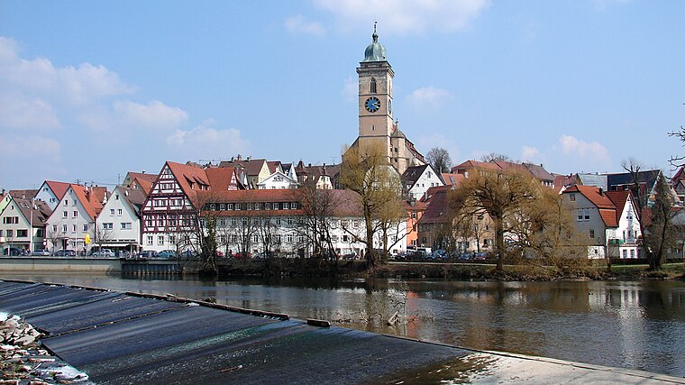
Photo: Helmlechner, CC BY-SA 4.0.
Nürtingen is a town on the river Neckar in the district of Esslingen in the state of Baden-Württemberg in southern Germany.
Owen
Town

Photo: Harke, CC BY-SA 3.0.
Owen is a town in the district of Esslingen in Baden-Württemberg in southern Germany. It is located 40 kilometres southeast of Stuttgart and 7 kilometres south of Kirchheim unter Teck.
Großbettlingen
Village

Photo: Karlo, Public domain.
Großbettlingen is a municipality in the district of Esslingen in Baden-Württemberg in southern Germany. Großbettlingen is about 5 km from Nürtingen. Unlike many small, German villages, Großbettlingen is not administered with any other villages.
Hochbehälter Kräuterbühl
- Type: Reservoir
- Category: body of water
- Location: Baden-Württemberg, Germany, Central Europe, Europe
- View on OpenStreetMap
Latitude
48.6113° or 48° 36′ 41″ northLongitude
9.391° or 9° 23′ 28″ eastElevation
352 metres (1,155 feet)Operator
Stadtwerke NürtingenOpen location code
8FWFJ96R+G9OpenStreetMap ID
node 804288924OpenStreetMap feature
man_made=reservoir_covered
This page is based on OpenStreetMap, Wikidata, and Wikimedia Commons.
We’d love your help improving our open data sources. Thank you for contributing.
Satellite Map
Discover Hochbehälter Kräuterbühl from above in high-definition satellite imagery.
Localities in the Area
Explore places such as Nonnenbrunnen and Reudern.
Notable Places Nearby
Highlights include Reitanlage Reitverein Nürtingen e.V. and Reiterverein Nürtingen e.V..
Baden-Württemberg: Must-Visit Destinations
Delve into Stuttgart, Heidelberg, Karlsruhe, and Mannheim.
Curious Reservoirs to Discover
Uncover intriguing reservoirs from every corner of the globe.
About Mapcarta. Data © OpenStreetMap contributors and available under the Open Database License". Text is available under the CC BY-SA 4.0 license, except for photos, directions, and the map. Photo: Traveler100, CC BY-SA 3.0.