Santa Maria del Camí
Santa Maria del Camí is a railway stop in Santa Maria del Camí, Balearic Islands. Santa Maria del Camí is situated nearby to the railway station s’Estació, as well as near the square Plaça de Can Orell.| Tap on a place to explore it |
Places of Interest Nearby
Highlights include Santa Maria del Camí train station and Església de la Mare de Déu de la Soledat.
Santa Maria del Camí train station
Railway station

Photo: Wikimedia, CC BY-SA 3.0.
Santa Maria del Camí train station is a railway station.
Església de la Mare de Déu de la Soledat
Church

Photo: MARIA ROSA FERRE ✿, CC BY-SA 2.0.
Església de la Mare de Déu de la Soledat is a church, which is situated 250 metres south of Santa Maria del Camí.
Santa Maria del Camí town hall
Town hall
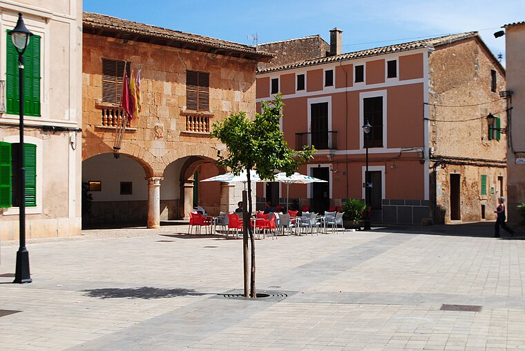
Photo: Rotget, CC BY-SA 3.0.
Santa Maria del Camí town hall is situated 770 metres southeast of Santa Maria del Camí.
Places in the Area
Nearby places include Consell and Son Seguí de Passatemps.
Consell
Village

Photo: Aracelifoto, CC BY-SA 3.0.
Consell is a small municipality in the district of Raiguer on Majorca, one of the Balearic Islands, Spain. Consell is situated 4 km northeast of Santa Maria del Camí.
Son Seguí de Passatemps
Locality

Photo: Rotget, CC BY-SA 3.0.
Son Seguí de Passatemps is a locality, which is situated 4 km southeast of Santa Maria del Camí.
sa Cabaneta
Suburb

Photo: Chixoy, CC BY-SA 3.0.
sa Cabaneta is a suburb, which is situated 4 km southwest of Santa Maria del Camí.
Santa Maria del Camí
- Type: Railway stop
- Categories: transport stop and transportation
- Location: Santa Maria del Camí, Balearic Islands, Spain, Iberia, Europe
- View on OpenStreetMap
Latitude
39.65329° or 39° 39′ 12″ northLongitude
2.77434° or 2° 46′ 28″ eastOperator
SFMOpen location code
8FF4MQ3F+8POpenStreetMap ID
node 8048732330OpenStreetMap feature
public_transport=stop_positionOpenStreetMap feature
railway=stop
This page is based on OpenStreetMap, Wikidata, and Wikimedia Commons.
We’d love your help improving our open data sources. Thank you for contributing.
Satellite Map
Discover Santa Maria del Camí from above in high-definition satellite imagery.
In Other Languages
“Santa Maria del Camí” goes by many names.
- Catalan: “Santa Maria del Camí”
Places with the Same Name
Discover other places named “Santa Maria del Camí”.
Notable Places Nearby
Highlights include s’Estació and Plaça de Can Orell.
Nearby Places
Explore places such as Santa Maria del Camí and Villa Wesco.
Balearic Islands: Must-Visit Destinations
Delve into Palma de Mallorca, Formentera, Ibiza, and Maó.
Curious Railway Stops to Discover
Uncover intriguing railway stops from every corner of the globe.
About Mapcarta. Data © OpenStreetMap contributors and available under the Open Database License". Text is available under the CC BY-SA 4.0 license, except for photos, directions, and the map. Photo: anieto2k, CC BY-SA 2.0.