Moyrazès
Moyrazès is a peak in Moyrazès, Arrondissement of Villefranche-de-Rouergue, Occitanie and has an elevation of 745 metres. Moyrazès is situated nearby to the neighborhood Lotissement la Crouzette, as well as near the locality La Penderie.| Tap on a place to explore it |
Places of Interest
Highlights include Église Saint-Médard de Moyrazès and Chapelle Saint-Clément de Saint-Clément.
Église Saint-Médard de Moyrazès
Church

Photo: Ikmo-ned, CC BY-SA 4.0.
Église Saint-Médard de Moyrazès is a church.
Chapelle Saint-Clément de Saint-Clément
Church

Photo: Cantepien, CC BY-SA 4.0.
Chapelle Saint-Clément de Saint-Clément is a church.
Places in the Area
Nearby places include Druelle and Vors.
Druelle
Village
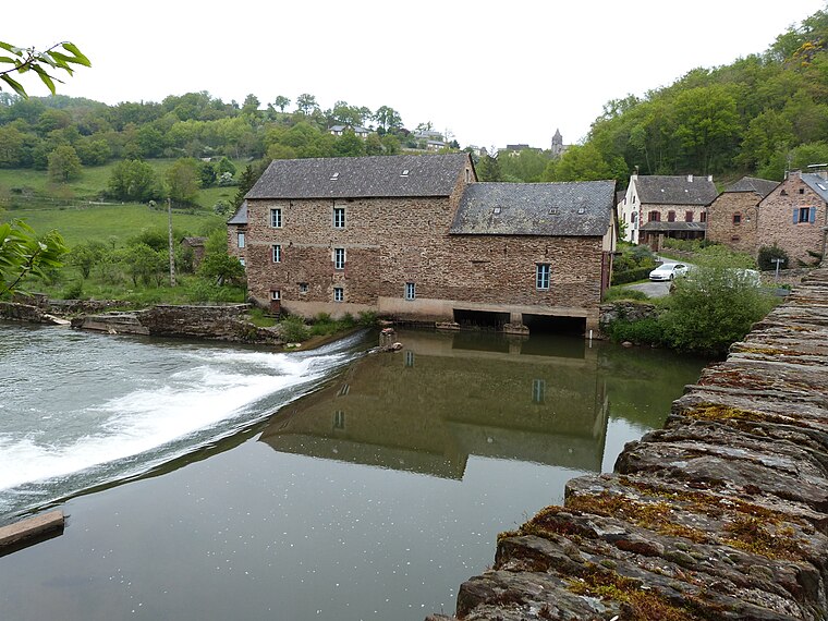
Photo: Thérèse Gaigé, CC BY-SA 4.0.
Druelle is a former commune in the Aveyron department in southern France. On 1 January 2017, it was merged into the new commune Druelle Balsac.

Moyrazès
- Type: Peak with an elevation of 745 metres
- Category: landform
- Location: Moyrazès, Arrondissement of Villefranche-de-Rouergue, Aveyron, Occitanie, France, Europe
- View on OpenStreetMap
Latitude
44.3414° or 44° 20′ 29″ northLongitude
2.436° or 2° 26′ 10″ eastElevation
745 metres (2,444 feet)Open location code
8FP48CRP+H9OpenStreetMap ID
node 8059372756OpenStreetMap feature
natural=peak
This page is based on OpenStreetMap, Wikidata, and Wikimedia Commons.
We’d love your help improving our open data sources. Thank you for contributing.
Satellite Map
Discover Moyrazès from above in high-definition satellite imagery.
Places with the Same Name
Discover other places named “Moyrazès”.
Localities in the Area
Explore places such as Moyrazès and Lotissement la Crouzette.
Notable Places Nearby
Highlights include Oratoire and Relais La Poste.
Curious Peaks to Discover
Uncover intriguing peaks from every corner of the globe.
About Mapcarta. Data © OpenStreetMap contributors and available under the Open Database License". Text is available under the CC BY-SA 4.0 license, except for photos, directions, and the map. Photo: Inkey, Public domain.