Toucher terre
Toucher terre is a convenience store in Templeuve-en-Pévèle, Arrondissement of Lille, Hauts-de-France which is located on Rue de Roubaix. Toucher terre is situated nearby to the theater building Au Petit Théâtre, as well as near the sports venue Salle des sports Robert Vandelanoitte.| Tap on a place to explore it |
- Email: julie@toucherterre.fr
- Type: Convenience store
- Address: Rue de Roubaix 52
Places of Interest Nearby
Highlights include Templeuve and Église Saint-Martin de Templeuve.
Templeuve
Railway station

Photo: Floflo62, CC BY-SA 3.0.
Templeuve is a railway station, which is situated 140 metres east of Toucher terre.
Église Saint-Martin de Templeuve
Church

Photo: Peter17, CC BY-SA 3.0.
Église Saint-Martin de Templeuve is a church, which is situated 370 metres southwest of Toucher terre.
Moulin de Vertain
Windmill

Photo: Wikimedia, CC BY-SA 4.0.
The Moulin de Vertain, also known as the Moulin Blanc and the Moulin de Briques is a unique windmill in Templeuve-en-Pévèle, Nord, France which was built in the late 15th century and has been restored to working order. Moulin de Vertain is situated 1 km north of Toucher terre.
Places in the Area
Nearby places include Cappelle-en-Pévèle and Orchies.
Cappelle-en-Pévèle
Village

Photo: Soph-dam, CC BY-SA 3.0.
Cappelle-en-Pévèle is a commune in the Nord department in northern France.
Orchies
Village

Photo: Michielverbeek, CC BY-SA 3.0.
Orchies is a commune in the department of Nord in the Hauts-de-France region of French Flanders, northern France. Its inhabitants are called Orchésiens. Orchies is situated 8 km southeast of Toucher terre.
Carrefour de l’Arbre
Locality
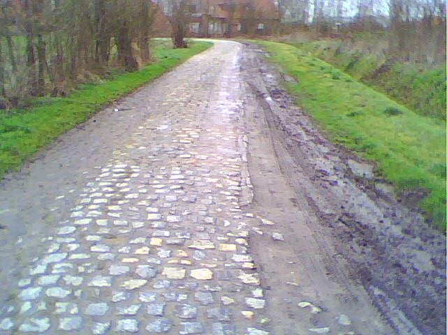
Photo: Wikimedia, CC BY-SA 3.0.
Carrefour de l'Arbre, officially Pavé de Luchin, is a 2.1 km cobbled road in the municipalities of Camphin-en-Pévèle, Baisieux-Sin and Gruson, in the Nord department of Northern France. Carrefour de l’Arbre is situated 8 km northeast of Toucher terre.
Toucher terre
- Categories: shop and food
- Location: Templeuve-en-Pévèle, Arrondissement of Lille, North, Hauts-de-France, France, Europe
- View on OpenStreetMap
Latitude
50.52856° or 50° 31′ 43″ northLongitude
3.17405° or 3° 10′ 27″ eastOpen location code
9F25G5HF+CJOpenStreetMap ID
node 8075771022OpenStreetMap feature
shop=convenience
This page is based on OpenStreetMap, Wikidata, and Wikimedia Commons.
We’d love your help improving our open data sources. Thank you for contributing.
Satellite Map
Discover Toucher terre from above in high-definition satellite imagery.
Notable Places Nearby
Highlights include Au Petit Théâtre and Salle des sports Robert Vandelanoitte.
Nearby Places
Explore places such as L’Baraque à frites et Pizzas and Espace socio-culturel.
Hauts-de-France: Must-Visit Destinations
Delve into Lille, Dunkirk, Calais, and Amiens.
Curious Convenience Stores to Discover
Uncover intriguing convenience stores from every corner of the globe.
About Mapcarta. Data © OpenStreetMap contributors and available under the Open Database License". Text is available under the CC BY-SA 4.0 license, except for photos, directions, and the map. Photo: LimoWreck, CC BY-SA 3.0.