Im Sihlhof
Im Sihlhof is in Adliswil, Horgen District, Canton of Zurich. Im Sihlhof is situated nearby to the fountain Aqui-Brunnen, as well as near the government office Stadthaus Adliswil - Provisorium im Sood.| Tap on a place to explore it |
Places of Interest Nearby
Highlights include Sood-Oberleimbach railway station and Adliswil railway station.
Sood-Oberleimbach railway station
Railway station
 Sood-Oberleimbach is a railway station in the Sihl Valley, and the municipality of Adliswil, in the Swiss Canton of Zurich, within fare zone 150 of the Zürcher Verkehrsverbund. Sood-Oberleimbach railway station is situated 150 metres south of Im Sihlhof.
Adliswil railway station
Railway station

Photo: BRW, CC BY-SA 4.0.
Adliswil is a railway station in the Sihl Valley, and the municipality of Adliswil, in the Swiss Canton of Zürich. The station is on the Sihltal line, which is operated by the Sihltal Zürich Uetliberg Bahn. Adliswil railway station is situated 1 km south of Im Sihlhof.
Catholic Holy Trinity Church
Church

Photo: Charly Bernasconi, CC BY-SA 4.0.
Catholic Holy Trinity Church is situated 1 km south of Im Sihlhof.
Places in the Area
Nearby places include Leimbach and Kilchberg.
Leimbach
Suburb

Photo: Roland zh, CC BY-SA 3.0.
Leimbach is a quarter in the district 2 in Zürich. It is located in the lower Sihl Valley. It was formerly a municipality of its own, having been incorporated into Zürich in 1893.
Kilchberg
Village
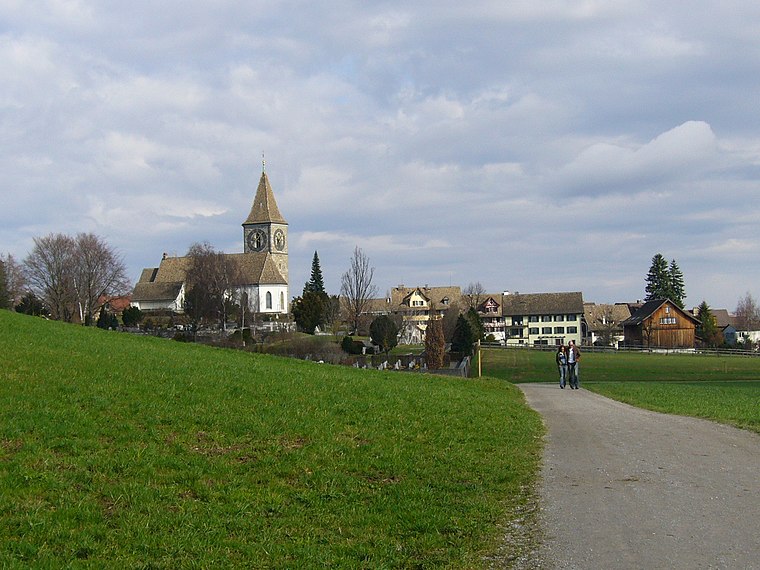
Photo: Wikimedia, CC BY-SA 3.0.
Kilchberg is a municipality in the district of Horgen in the canton of Zürich in Switzerland. Kilchberg is the site of a regional cemetery.

Im Sihlhof
- Type: Map
- Categories: information and tourism
- Location: Adliswil, Horgen District, Canton of Zurich, Switzerland, Central Europe, Europe
- View on OpenStreetMap
Latitude
47.32088° or 47° 19′ 15″ northLongitude
8.52185° or 8° 31′ 19″ eastOpen location code
8FVC8GCC+9POpenStreetMap ID
node 8099935325OpenStreetMap feature
tourism=information
This page is based on OpenStreetMap, Wikidata, and Wikimedia Commons.
We’d love your help improving our open data sources. Thank you for contributing.
Satellite Map
Discover Im Sihlhof from above in high-definition satellite imagery.
Notable Places Nearby
Highlights include Aqui-Brunnen and Stadthaus Adliswil - Provisorium im Sood.
Nearby Places
Explore places such as Your Beauty Lab and Omer Bodenbeläge.
Switzerland: Must-Visit Destinations
Delve into Zurich, Berne, Geneva, and Basel.
Curious Places to Discover
Uncover intriguing places from every corner of the globe.
About Mapcarta. Data © OpenStreetMap contributors and available under the Open Database License". Text is available under the CC BY-SA 4.0 license, except for photos, directions, and the map. Photo: Roland zh, CC BY-SA 3.0.