Vörös berény
Vörös berény is a locality in Veszprém County, Central Transdanubia. Vörös berény is situated nearby to the locality Bene-hegy, as well as near Táltos-hegy.| Tap on a place to explore it |
Places of Interest
Highlights include Öreg hegyi kút and Eötvös Károly kilátó.

Eötvös Károly kilátó
Scenic viewpoint

Photo: Emilke82, CC BY-SA 4.0.
Eötvös Károly kilátó is a scenic viewpoint.

Places in the Area
Nearby places include Mindszentkálla and Monoszló.
Mindszentkálla
Village

Photo: Darinko, Public domain.
Mindszentkálla is a village in Veszprém county, Hungary, with a population of 327. The ancient Eimann family has lived there since the beginning of the 18th century. Mindszentkálla is situated 4 km south of Vörös berény.
Monoszló
Village
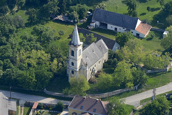
Photo: Civertan, CC BY-SA 4.0.
Monoszló is a village in Veszprém county, Hungary. Monoszló is situated 5 km east of Vörös berény.
Kékkút
Village

Photo: Derzsi Elekes Andor, CC BY-SA 3.0.
Kékkút is a village in Veszprém county, Hungary. Kékkút is situated 6 km south of Vörös berény.
Vörös berény
- Type: Locality
- Location: Veszprém County, Central Transdanubia, Hungary, Central Europe, Europe
- View on OpenStreetMap
Latitude
46.90814° or 46° 54′ 29″ northLongitude
17.57183° or 17° 34′ 19″ eastOpen location code
8FRVWH5C+7POpenStreetMap ID
node 8110540163OpenStreetMap feature
place=locality
This page is based on OpenStreetMap, Wikidata, and Wikimedia Commons.
We’d love your help improving our open data sources. Thank you for contributing.
Satellite Map
Discover Vörös berény from above in high-definition satellite imagery.
Places with the Same Name
Discover other places named “Vörös berény”.
Localities in the Area
Explore places such as Bene-hegy and Táltos-hegy.
Notable Places Nearby
Highlights include Somodi Zsolt and Füzes-tó.
Veszprém County: Must-Visit Destinations
Delve into Veszprém, Pápa, Sümeg, and Várpalota.
Curious Localities to Discover
Uncover intriguing localities from every corner of the globe.
About Mapcarta. Data © OpenStreetMap contributors and available under the Open Database License". Text is available under the CC BY-SA 4.0 license, except for photos, directions, and the map. Photo: Wikimedia, CC0.