Mado Kiosk
Mado Kiosk is a kiosk in Cologne, Cologne Lowland, North Rhine-Westphalia. Mado Kiosk is situated nearby to the railway stop Köln-Buchforst station, as well as near the playground Blauer Hof.| Tap on a place to explore it |
Places of Interest Nearby
Highlights include Köln-Buchforst station and St. Petrus Canisius.
Köln-Buchforst station
Railway stop

Photo: A.Savin, CC BY-SA 3.0.
Köln-Buchforst is a railway station situated at Buchforst, Cologne in western Germany. It is served by the S6 of the Rhine-Ruhr S-Bahn and S11 of the Cologne S-Bahn.
St. Petrus Canisius
Church
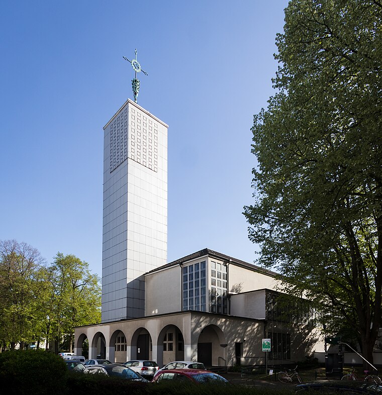
Photo: Elya, CC BY-SA 4.0.
St. Petrus Canisius is a church, which is situated 370 metres southeast of Mado Kiosk.
Evangelisches Andreae-Haus
Church

Photo: Chris06, CC BY-SA 4.0.
Evangelisches Andreae-Haus is a church, which is situated 370 metres north of Mado Kiosk.
Places in the Area
Nearby places include Vingst and Fort XI.
Vingst
Suburb

Photo: Hasenläufer, CC BY-SA 3.0 de.
Vingst is a suburb, which is situated 2½ km southeast of Mado Kiosk.
Fort XI
Locality

Photo: Nicola, CC BY-SA 3.0.
Fort XI is a locality, which is situated 2½ km northeast of Mado Kiosk.
Deutz
Suburb

Photo: Tohma, CC BY-SA 4.0.
The Cologne borough of Deutz is a part of central Cologne, Germany, and was once an independent town known as Deutz am Rhein. Deutz is situated 3 km southwest of Mado Kiosk.
Mado Kiosk
- Type: Kiosk
- Category: shop
- Location: Cologne, Cologne District, Cologne Lowland, North Rhine-Westphalia, Germany, Central Europe, Europe
- View on OpenStreetMap
Latitude
50.95302° or 50° 57′ 11″ northLongitude
7.00468° or 7° 0′ 17″ eastOpen location code
9F29X233+6VOpenStreetMap ID
node 8132366777OpenStreetMap feature
shop=kiosk
This page is based on OpenStreetMap, Wikidata, and Wikimedia Commons.
We’d love your help improving our open data sources. Thank you for contributing.
Satellite Map
Discover Mado Kiosk from above in high-definition satellite imagery.
Places with the Same Name
Discover other places named “Mado Kiosk”.
Notable Places Nearby
Highlights include Blauer Hof and Filiale 504.
Nearby Places
Explore places such as Buchforst S-Bahn and Köln-Buchforst.
Cologne Lowland: Must-Visit Destinations
Delve into Bonn, Leverkusen, Siegburg, and Bad Honnef.
Curious Kiosks to Discover
Uncover intriguing kiosks from every corner of the globe.
About Mapcarta. Data © OpenStreetMap contributors and available under the Open Database License". Text is available under the CC BY-SA 4.0 license, except for photos, directions, and the map. Photo: Ahgee, CC BY-SA 3.0.