FamilienLaden
FamilienLaden is a social service facility in Berlin, Berlin which is located on Kilianistraße. FamilienLaden is situated nearby to the post office Postamt Oberschöneweide, as well as near the work of art Venus and Cupid.| Tap on a place to explore it |
Places of Interest Nearby
Highlights include Industry park Schöneweide and St. Anthony’s.
Industry park Schöneweide
Museum
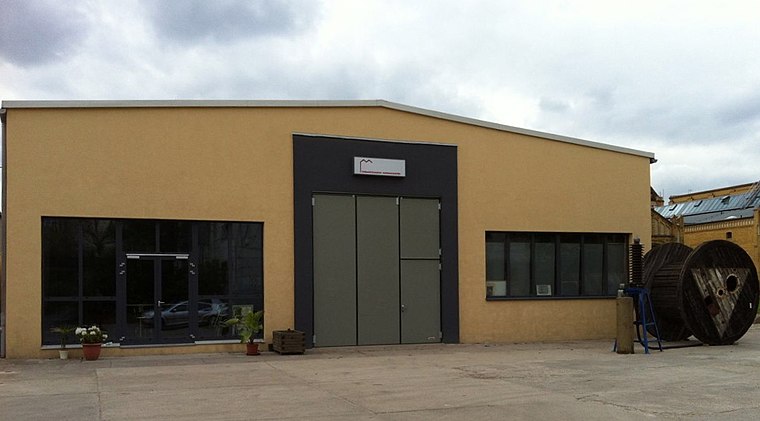
Photo: Maetsch, CC BY-SA 3.0.
Industry park Schöneweide is a museum, which is situated 300 metres south of FamilienLaden.
St. Anthony’s
Church

Photo: Wikimedia, CC BY-SA 3.0.
St. Anthony’s is a church, which is situated 280 metres northwest of FamilienLaden.
Siedlung Gebag
Protected area

Photo: Global Fish, CC BY-SA 4.0.
Siedlung Gebag is a protected area, which is situated 390 metres north of FamilienLaden.
Places in the Area
Nearby places include Waldsiedlung Wuhlheide and Prinzenviertel.
Waldsiedlung Wuhlheide
Neighborhood

Photo: Lotse, CC BY-SA 3.0.
Waldsiedlung Wuhlheide is a neighborhood.

Johannisthal
Suburb

Photo: Clemensfranz, CC BY-SA 3.0.
Johannisthal is a German locality within the Berlin borough of Treptow-Köpenick. Until 2001 it was part of the former borough of Treptow.
FamilienLaden
- Type: Social service facility
- Address: Kilianistraße 18, Oberschöneweide, Berlin, 12459
- Location: Berlin, Berlin, Stadt, Berlin, Germany, Central Europe, Europe
- View on OpenStreetMap
Latitude
52.46301° or 52° 27′ 47″ northLongitude
13.51801° or 13° 31′ 5″ eastOperator
Familienbande+ gGmbHOpen location code
9F4MFG79+66OpenStreetMap ID
node 8151726897OpenStreetMap feature
amenity=social_facility
This page is based on OpenStreetMap, Wikidata, and Wikimedia Commons.
We’d love your help improving our open data sources. Thank you for contributing.
Satellite Map
Discover FamilienLaden from above in high-definition satellite imagery.
Places with the Same Name
Discover other places named “FamilienLaden”.
Notable Places Nearby
Highlights include Postamt Oberschöneweide and Venus and Cupid.
Nearby Places
Explore places such as Cosmetik-Studio Stefanie and Das fünfte Rad e. V..
Berlin: Must-Visit Destinations
Delve into Mitte, East Central, City West, and East Berlin.
Curious Social Service Facilities to Discover
Uncover intriguing social service facilities from every corner of the globe.
About Mapcarta. Data © OpenStreetMap contributors and available under the Open Database License". Text is available under the CC BY-SA 4.0 license, except for photos, directions, and the map. Photo: Berthold Werner, CC BY-SA 3.0.