Mountain States Tent & Awning
Mountain States Tent & Awning is an outdoor equipment store in Larimer, Colorado which is located on East 15th Street. Mountain States Tent & Awning is situated nearby to Dwayne Webster Park, as well as near the cemetery Loveland Burial Park.| Tap on a place to explore it |
Places of Interest Nearby
Highlights include Thompson Valley High School.
Thompson Valley High School
School
Thompson Valley High School is located at 1669 Eagle Drive in Loveland, Colorado. Its mascot is the golden eagle. It is one of five high schools in the Thompson R2-J School District, along with Loveland High School, Mountain View High School, Harold Ferguson High School, and Berthoud High School. Thompson Valley High School is situated 2 miles southwest of Mountain States Tent & Awning.
Places in the Area
Nearby places include Loveland and Campion.
Loveland
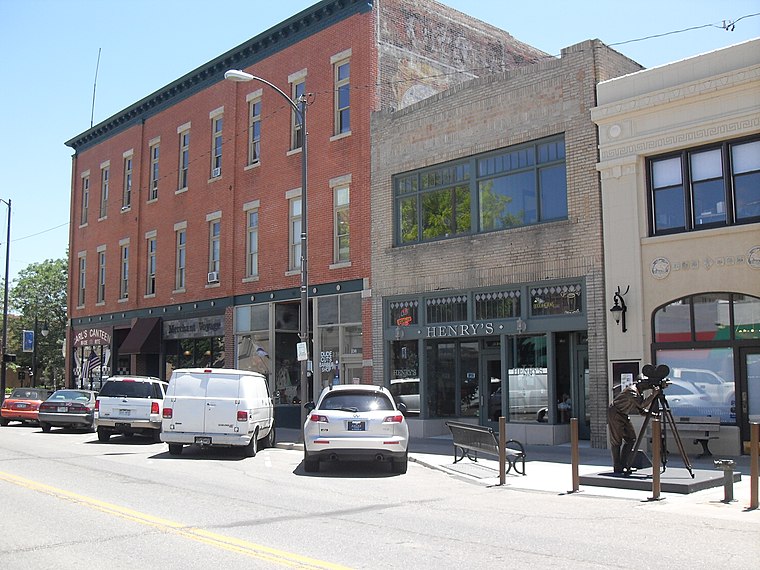
Photo: Elmschrat, CC BY-SA 3.0.
Loveland is a city in the region of Colorado. There is a large population of artists in Loveland, which has drawn three foundries, an art museum, and the annual sculpture shows in August.
Campion
Locality

Photo: Wikimedia, CC BY-SA 3.0.
Campion is an unincorporated community located in southeastern Larimer County, Colorado, United States. A former census-designated place, the population was 1,832 at the United States Census 2000. Campion is situated 4 miles south of Mountain States Tent & Awning.
Mountain States Tent & Awning
- Type: Outdoor equipment store
- Address: 104 East 15th Street
- Category: shop
- Location: Larimer, Colorado, Rocky Mountains, United States, North America
- View on OpenStreetMap
Latitude
40.40768° or 40° 24′ 28″ northLongitude
-105.07538° or 105° 4′ 31″ westOpen location code
85GPCW5F+3ROpenStreetMap ID
node 8235853639OpenStreetMap feature
shop=outdoor
This page is based on OpenStreetMap, Wikidata, and Wikimedia Commons.
We’d love your help improving our open data sources. Thank you for contributing.
Satellite Map
Discover Mountain States Tent & Awning from above in high-definition satellite imagery.
Notable Places Nearby
Highlights include Dwayne Webster Park and Loveland Burial Park.
Nearby Places
Explore places such as Big Thompson Brewery and True Colours Day Spa & Salon.
Colorado: Must-Visit Destinations
Delve into Denver, Colorado Springs, Boulder, and Aurora.
Curious Outdoor Equipment Stores to Discover
Uncover intriguing outdoor equipment stores from every corner of the globe.
About Mapcarta. Data © OpenStreetMap contributors and available under the Open Database License". Text is available under the CC BY-SA 4.0 license, except for photos, directions, and the map. Photo: mark gallagher, CC BY 2.0.