Ναός Αγίας Τριάδας του Μαύρικα
Ναός Αγίας Τριάδας του Μαύρικα is a church in Agrinio, West Central Greece, West Greece. Ναός Αγίας Τριάδας του Μαύρικα is situated nearby to Lake Lysimachia.| Tap on a place to explore it |
Places of Interest Nearby
Highlights include Lake Lysimachia.
Lake Lysimachia
Lake
Lysimachia is a lake in Aetolia-Acarnania, western Greece. Its area is 13.2 km2, its depth is around 9 m. It is fed by the small river Ermitsa, and by a canal that connects the lake with the larger Lake Trichonida to its east. Lake Lysimachia is situated 3 km southwest of Ναός Αγίας Τριάδας του Μαύρικα.
Places in the Area
Nearby places include Papadates and Triantaiika.
Papadates
Village
Papadates is a village in the regional unit of Aetolia-Acarnania. Situated in the region of West Greece, since 2011, it is part of the municipality of Agrinio. Papadates is situated 7 km southeast of Ναός Αγίας Τριάδας του Μαύρικα.
Triantaiika
Village
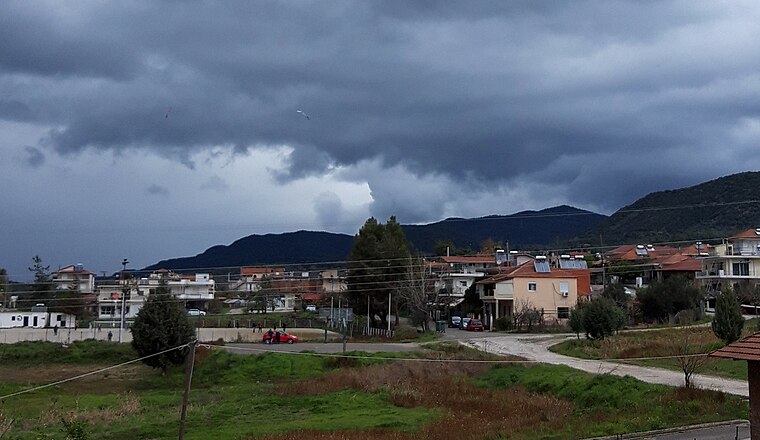
Photo: GeoAgrin, CC BY-SA 4.0.
Triantaiika is a village, which is situated 9 km north of Ναός Αγίας Τριάδας του Μαύρικα.
Angelokastro
Village
Angelokastro is a village and a former municipality in Aetolia-Acarnania, West Greece, Greece. Since the 2011 local government reform it is part of the municipality Agrinio, of which it is a municipal unit. The municipal unit has an area of 55.726 km2. Angelokastro is situated 9 km west of Ναός Αγίας Τριάδας του Μαύρικα.
Ναός Αγίας Τριάδας του Μαύρικα
- Type: Church
- Denomination: Orthodox
- Categories: building, chapel, place of worship, and religion
- Location: Agrinio, West Central Greece, West Greece, Central Greece, Greece, Balkans, Europe
- View on OpenStreetMap
Latitude
38.5778° or 38° 34′ 40″ northLongitude
21.39879° or 21° 23′ 56″ eastOpen location code
8GC3H9HX+4GOpenStreetMap ID
node 8253165653OpenStreetMap feature
amenity=place_of_worshipOpenStreetMap feature
building=chapelOpenStreetMap attribute
denomination=orthodox
This page is based on OpenStreetMap, Wikidata, and Wikimedia Commons.
We’d love your help improving our open data sources. Thank you for contributing.
Satellite Map
Discover Ναός Αγίας Τριάδας του Μαύρικα from above in high-definition satellite imagery.
Notable Places Nearby
Highlights include Ναός Αγίας Τριάδας του Μαύρικα and Agrinio Hospital.
Nearby Places
Explore places such as ΚΑΨΙΩΧΑΣ and Νοσοκομείο Αγρινίου.
West Central Greece: Must-Visit Destinations
Delve into Delphi, Thebes, Lamia, and Itea.
Curious Churches to Discover
Uncover intriguing churches from every corner of the globe.
About Mapcarta. Data © OpenStreetMap contributors and available under the Open Database License". Text is available under the CC BY-SA 4.0 license, except for photos, directions, and the map. Photo: Wikimedia, CC0.