Planète Saturne
Planète Saturne is in Quint-Fonsegrives, Arrondissement of Toulouse, Occitanie. Planète Saturne is situated nearby to the sports venue Gymnase Pierre Corraze, as well as near Gymnase Pierre Izard.| Tap on a place to explore it |
Places of Interest Nearby
Highlights include Cité de l’espace and Église Saint-Pierre de Quint-Fonsegrives.
Cité de l’espace
Theme park

Photo: Celeda, CC BY-SA 4.0.
The Cité de l'espace is a scientific discovery centre in France focused on spaceflight. It was opened in June 1997, and is located on the eastern outskirts of Toulouse. Cité de l’espace is situated 3½ km west of Planète Saturne.
Église Saint-Pierre de Quint-Fonsegrives
Church

Photo: Gaillac, CC BY-SA 4.0.
Église Saint-Pierre de Quint-Fonsegrives is a church, which is situated 1¼ km east of Planète Saturne.
Toulouse – Lasbordes Airport
Aerodrome
 Toulouse–Lasbordes Airport is a small non-commercial airport in the commune of Balma, situated 4 km east of the city center of Toulouse, both located in the Haute-Garonne department of the Midi-Pyrénées region in southwest France. Toulouse – Lasbordes Airport is situated 3 km west of Planète Saturne.
Places in the Area
Nearby places include Montaudran and Balma.
Montaudran
Suburb

Photo: Wikimedia, CC BY-SA 3.0.
Montaudran is a suburb of Toulouse situated to the south east of the city, by the Hers-Mort river. It is notable thanks to the Aéropostale company and its aerodrome which was the base for the aeronautical pioneers between 1917 and 1933 who established the first commercial air routes with postal flights to Casablanca, Dakar… and on to South America. Montaudran is situated 4 km west of Planète Saturne.
Balma
Town
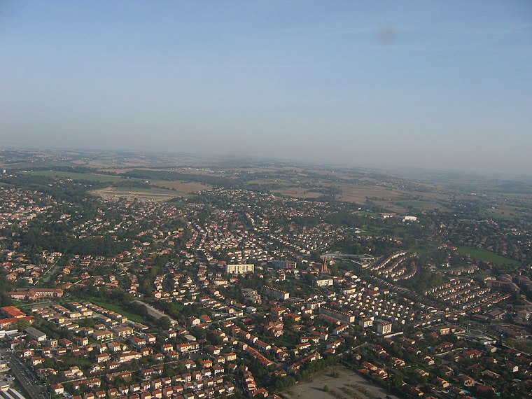
Photo: Poppy, CC BY-SA 3.0.
Balma is a commune in the Haute-Garonne department in southwestern France. It is east of Toulouse. The name of the town comes from the old Provençal word meaning "cave" or "grotto". Balma is situated 4½ km northwest of Planète Saturne.
Rangueil
Suburb

Photo: Archaeodontosaurus, CC BY-SA 4.0.
Rangueil is a residential area south-east of Toulouse in Haute-Garonne, France, where grandes écoles and Universities are located as well as an important scientific complex. It has 2,295 inhabitants. Rangueil is situated 6 km west of Planète Saturne.
Planète Saturne
- Type: Sign
- Categories: information and tourism
- Location: Quint-Fonsegrives, Arrondissement of Toulouse, Haute-Garonne, Occitanie, France, Europe
- View on OpenStreetMap
Latitude
43.57901° or 43° 34′ 44″ northLongitude
1.53755° or 1° 32′ 15″ eastOpen location code
8FM3HGHQ+J2OpenStreetMap ID
node 8254914072OpenStreetMap feature
tourism=information
This page is based on OpenStreetMap, Wikidata, and Wikimedia Commons.
We’d love your help improving our open data sources. Thank you for contributing.
Satellite Map
Discover Planète Saturne from above in high-definition satellite imagery.
Notable Places Nearby
Highlights include Gymnase Pierre Corraze and Gymnase Pierre Izard.
Nearby Places
Explore places such as Fonsegrives Collège and Ateliers municipaux.
Haute-Garonne: Must-Visit Destinations
Delve into Toulouse, Boutx, Tarn, and Roquesérière.
Curious Places to Discover
Uncover intriguing places from every corner of the globe.
About Mapcarta. Data © OpenStreetMap contributors and available under the Open Database License". Text is available under the CC BY-SA 4.0 license, except for photos, directions, and the map. Photo: Kulmalukko, CC BY-SA 3.0.