7 Sentidos
7 Sentidos is a chalet in Bischofsmais, Regen, Bavaria which is located on Großbärnbacher Straße. 7 Sentidos is situated nearby to the peak Bärnstein, as well as near the playground Spielplatz Am Bärnstoa Bischofsmais.| Tap on a place to explore it |
- Type: Chalet
- Address: Großbärnbacher Straße 50, Bischofsmais, 94253
- Wheelchair access: no
Places of Interest Nearby
Highlights include St. Jakobus der Ältere and Teufelstisch.
St. Jakobus der Ältere
Church
 St. Jakobus der Ältere is a church, which is situated 450 metres northeast of 7 Sentidos.

Geißkopf
Peak

Photo: MisterPicture, CC BY-SA 3.0.
The Geißkopf is a mountain, 1,097.4 m above sea level, in the Bavarian Forest in Germany. Geißkopf is situated 3 km west of 7 Sentidos.
Places in the Area
Nearby places include Sankt Hermann and Großseiboldsried.

Großseiboldsried
Hamlet
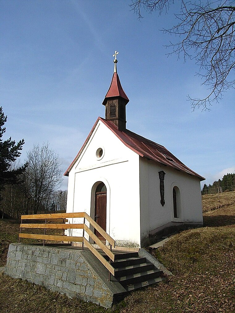
Photo: Konrad Lackerbeck, CC BY 3.0.
Großseiboldsried is a hamlet, which is situated 4 km northeast of 7 Sentidos.
Reinhartsmais
Hamlet

Photo: Konrad Lackerbeck, CC0.
Reinhartsmais is a hamlet, which is situated 4½ km north of 7 Sentidos.
7 Sentidos
- Categories: tourism, accommodation, and building
- Location: Bischofsmais, Regen, Lower Bavaria, Bavaria, Germany, Central Europe, Europe
- View on OpenStreetMap
Latitude
48.91402° or 48° 54′ 51″ northLongitude
13.07796° or 13° 4′ 41″ eastOpen location code
8FWMW37H+J5OpenStreetMap ID
node 8296663354OpenStreetMap feature
tourism=chaletOpenStreetMap attribute
wheelchair=no
This page is based on OpenStreetMap, Wikidata, and Wikimedia Commons.
We’d love your help improving our open data sources. Thank you for contributing.
Satellite Map
Discover 7 Sentidos from above in high-definition satellite imagery.
Notable Places Nearby
Highlights include Bärnstein and Spielplatz Am Bärnstoa Bischofsmais.
Nearby Places
Explore places such as Günther Wudy Versicherungsmakler and Zimmerei Pledl.
Lower Bavaria: Must-Visit Destinations
Delve into Passau, Landshut, Straubing, and Deggendorf.
Curious Chalets to Discover
Uncover intriguing chalets from every corner of the globe.
About Mapcarta. Data © OpenStreetMap contributors and available under the Open Database License". Text is available under the CC BY-SA 4.0 license, except for photos, directions, and the map. Photo: Wikimedia, CC0.