Marina Heights / Rio Salado Pkwy
Marina Heights / Rio Salado Pkwy is a tram stop in Maricopa County, Arizona. Marina Heights / Rio Salado Pkwy is situated nearby to the park Marina Heights Courtyard, as well as near the pitch Agility Field.| Tap on a place to explore it |
Places of Interest Nearby
Highlights include Tempe Butte and Desert Financial Arena.
Tempe Butte
Peak

Photo: Tjnelso1, Public domain.
Tempe Butte is the official name of an andesite butte of volcanic origin, located partially on Arizona State University's Tempe campus in Tempe, Arizona.
Desert Financial Arena
Stadium
 Desert Financial Arena is a 14,198-seat multi-purpose arena located at 600 E Veterans Way in Tempe, Arizona, United States, in the Phoenix metropolitan area. Desert Financial Arena is situated 1,800 feet south of Marina Heights / Rio Salado Pkwy.
Veterans Way/College Avenue station
Railway station
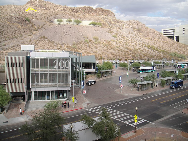
Photo: Cygnusloop99, CC BY-SA 3.0.
Veterans Way/College Avenue station, also known as the Tempe Transportation Center, is a regional transportation center on the A Line of the Valley Metro Rail system in Tempe, Arizona, United States. Veterans Way/College Avenue station is situated 1,600 feet southwest of Marina Heights / Rio Salado Pkwy.
Places in the Area
Nearby places include Tempe and Scottsdale.
Tempe

Photo: squeaks2569, CC BY-SA 2.0.
Tempe is a city of 180,587 in the Greater Phoenix area of Arizona, best known as the home of Arizona State University. Its younger, student-heavy population allows it to offer a vibrant nightlife that is relatively rare in Arizona.
Scottsdale

Photo: Nhartmannphotos, CC BY-SA 4.0.
Scottsdale is a city in the state of Arizona. Scottsdale is home to many galleries, high quality resorts, and golf courses. It is also one of the wealthier parts of the Phoenix Metro Area.
Salt River
Hamlet

Photo: Chris English, CC BY-SA 3.0.
Salt River is a populated place situated in Maricopa County, Arizona, United States. It has an estimated elevation of 1,220 feet above sea level. It is located on the Salt River Pima–Maricopa Indian Community. Salt River is situated 4½ miles northeast of Marina Heights / Rio Salado Pkwy.
Marina Heights / Rio Salado Pkwy
- Type: Tram stop
- Wheelchair access: yes
- Categories: railway stop, transport stop, and transportation
- Location: Maricopa County, Arizona, Southwest, United States, North America
- View on OpenStreetMap
Latitude
33.42933° or 33° 25′ 46″ northLongitude
-111.93255° or 111° 55′ 57″ westInception
May 20th, 2022Operator
Valley MetroNetwork
Valley MetroOpen location code
855CC3H8+PXOpenStreetMap ID
node 8340550859OpenStreetMap feature
public_transport=stop_positionOpenStreetMap feature
railway=tram_stopOpenStreetMap attribute
wheelchair=yes
This page is based on OpenStreetMap, Wikidata, and Wikimedia Commons.
We’d love your help improving our open data sources. Thank you for contributing.
Satellite Map
Discover Marina Heights / Rio Salado Pkwy from above in high-definition satellite imagery.
Notable Places Nearby
Highlights include Marina Heights Courtyard and Agility Field.
Nearby Places
Explore places such as Marina Heights / Rio Salado Pkwy and Marina Heights Building #2.
Arizona: Must-Visit Destinations
Delve into Phoenix, Tucson, Mesa, and Flagstaff.
Curious Tram Stops to Discover
Uncover intriguing tram stops from every corner of the globe.
About Mapcarta. Data © OpenStreetMap contributors and available under the Open Database License". Text is available under the CC BY-SA 4.0 license, except for photos, directions, and the map. Photo: Tobi 87, CC BY-SA 3.0.