ZI de Bellande
ZI de Bellande is a neighborhood in Saint-Étienne-de-Fontbellon, Arrondissement of Largentière, Auvergne-Rhône-Alpes. ZI de Bellande is situated nearby to the neighborhood ZI de Ripotier, as well as near the town Aubenas.| Tap on a place to explore it |
Places of Interest
Highlights include Gare d’Aubenas and Hôtel Missolz de Ferrières.

Hôtel Missolz de Ferrières
Historic building

Photo: Jmerlant, CC BY-SA 3.0.
Hôtel Missolz de Ferrières is a historic building.

Places in the Area
Nearby places include Aubenas and Saint-Didier-sous-Aubenas.
Aubenas
Town
 Aubenas is a commune in the southern part of the Ardèche department in Southern France. It is the seat of several government offices. The mountainous and rugged countryside is popular for vacation homes.
Saint-Didier-sous-Aubenas
Village

Photo: Marianne Casamance, CC BY-SA 4.0.
Saint-Didier-sous-Aubenas is a commune in the Ardèche department in southern France.
Saint-Sernin
Village
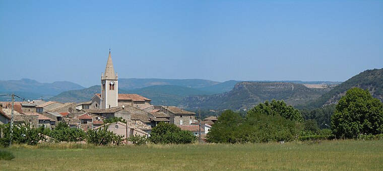
Photo: Patrice78500, CC BY-SA 3.0.
Saint-Sernin is a commune in the Ardèche department in southern France. Saint-Sernin is situated 4 km south of ZI de Bellande.
ZI de Bellande
- Type: Neighborhood
- Also known as: “Zone Industrielle de Bellande”
- Categories: industry and locality
- Location: Saint-Étienne-de-Fontbellon, Arrondissement of Largentière, Ardèche and Drôme, Auvergne-Rhône-Alpes, France, Europe
- View on OpenStreetMap
Latitude
44.60888° or 44° 36′ 32″ northLongitude
4.39297° or 4° 23′ 35″ eastOpen location code
8FP6J95V+H5OpenStreetMap ID
node 8357104873OpenStreetMap feature
landuse=industrialOpenStreetMap feature
place=neighbourhood
This page is based on OpenStreetMap, Wikidata, and Wikimedia Commons.
We’d love your help improving our open data sources. Thank you for contributing.
Satellite Map
Discover ZI de Bellande from above in high-definition satellite imagery.
Localities in the Area
Explore places such as ZI de Ripotier and Ucel.
Notable Places Nearby
Highlights include Clinique du Vivarais and CPAM d’Ardèche.
Ardèche and Drôme: Must-Visit Destinations
Delve into Die, Vallon-Pont-d’Arc, Buis-les-Baronnies, and Lagorce.
Curious Neighborhoods to Discover
Uncover intriguing neighborhoods from every corner of the globe.
About Mapcarta. Data © OpenStreetMap contributors and available under the Open Database License". Text is available under the CC BY-SA 4.0 license, except for photos, directions, and the map. Photo: Perreal, CC BY-SA 3.0.