Hurčәca
Hurčәca is a locality in Köttmannsdorf, Klagenfurt-Land District, Carinthia. Hurčәca is situated nearby to the locality Za liәsam, as well as near Rut.| Tap on a place to explore it |
Places of Interest
Highlights include Totenleuchte Köttmannsdorf and Ferlacher Stausee.


Bahnhof Weizelsdorf
Railway station

Photo: Liberaler Humanist, CC BY-SA 4.0.
Bahnhof Weizelsdorf is a railway station.
Places in the Area
Nearby places include Maria Rain and Ferlach.
Maria Rain
Village

Photo: Joadl, CC BY-SA 3.0.
Maria Rain is a town in the district of Klagenfurt-Land in the Austrian state of Carinthia, known for its Baroque parish and pilgrimage church. Maria Rain is situated 3 km east of Hurčәca.
Ferlach
Town

Photo: Johann Jaritz, CC BY-SA 4.0.
Ferlach in the district of Klagenfurt-Land in Carinthia is the southernmost town in Austria. It is known for its centuries-old gunsmith tradition, part of the Austrian intangible cultural heritage since 2010. Ferlach is situated 5 km southeast of Hurčәca.
Keutschach am See
Village
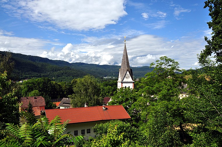
Photo: Johann Jaritz, CC BY-SA 3.0.
Keutschach am See is a municipality in the district of Klagenfurt-Land in the Austrian state of Carinthia. Keutschach am See is situated 6 km northwest of Hurčәca.
Hurčәca
- Type: Locality
- Location: Köttmannsdorf, Klagenfurt-Land District, Carinthia, Austria, Central Europe, Europe
- View on OpenStreetMap
Latitude
46.558° or 46° 33′ 29″ northLongitude
14.24633° or 14° 14′ 47″ eastOpen location code
8FRPH65W+5GOpenStreetMap ID
node 8361978306OpenStreetMap feature
place=locality
This page is based on OpenStreetMap, Wikidata, and Wikimedia Commons.
We’d love your help improving our open data sources. Thank you for contributing.
Satellite Map
Discover Hurčәca from above in high-definition satellite imagery.
Localities in the Area
Explore places such as Za liәsam and Rut.
Notable Places Nearby
Highlights include ASKÖ Köttmannsdorf and Hl. Gandolf.
Carinthia: Must-Visit Destinations
Delve into Klagenfurt, Villach, Wörthersee, and Spittal an der Drau.
Curious Localities to Discover
Uncover intriguing localities from every corner of the globe.
About Mapcarta. Data © OpenStreetMap contributors and available under the Open Database License". Text is available under the CC BY-SA 4.0 license, except for photos, directions, and the map. Photo: Wikimedia, CC BY-SA 3.0.