Walking Molecular Flower
Walking Molecular Flower is a work of art in Harris County, Texas. Walking Molecular Flower is situated nearby to BRC Tent, as well as near Rice University Track and Soccer Stadium.| Tap on a place to explore it |
Places of Interest Nearby
Highlights include Houston Methodist Hospital and MD Anderson Cancer Center.
Houston Methodist Hospital
Hospital

Photo: WhisperToMe, Public domain.
Houston Methodist Hospital is the flagship quaternary care hospital of Houston Methodist academic medical center. Located in the Texas Medical Center in Houston, Texas, Houston Methodist Hospital was established in 1919 during the height of the Spanish influenza epidemic as an outreach ministry of Methodist Episcopal Church. Houston Methodist Hospital is situated 740 feet east of Walking Molecular Flower.
MD Anderson Cancer Center
Hospital
 The University of Texas MD Anderson Cancer Center is a comprehensive cancer center and autonomous university of the University of Texas System in Houston, Texas. MD Anderson Cancer Center is situated 1,900 feet southeast of Walking Molecular Flower.
Dryden/TMC station
Railway station

Photo: Katherine Johnson, CC BY 2.0.
Dryden/TMC station is a METRORail light rail station in the Texas Medical Center neighborhood of Houston, Texas, United States. The station serves the Red Line and two bus routes. Dryden/TMC station is situated 700 feet south of Walking Molecular Flower.
Places in the Area
Nearby places include Texas Medical Center and Rice Village.
Texas Medical Center
Suburb
 The Texas Medical Center is a neighborhood in south-central Houston, Texas, United States. It is immediately south of the Museum District and west of Texas State Highway 288.
Rice Village
Neighborhood

Photo: WhisperToMe, CC0.
Rice Village is a shopping district in Houston, Texas, United States. Rice Village is a collection of shops, restaurants and pubs, situated about a half-mile west of the center of Rice University's 300-acre campus.
Houston Museum District
Suburb
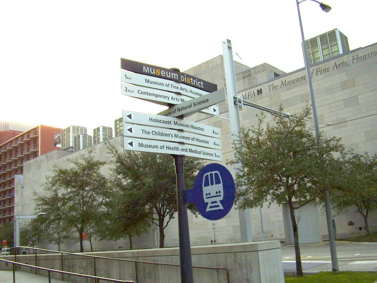
Photo: WhisperToMe, Public domain.
The Houston Museum District is an association of 21 museums, cultural centers and community organizations located in Houston, Texas, dedicated to promoting art, science, history, and culture.
Walking Molecular Flower
- Type: Work of art
- Artwork type: sculpture
- Category: tourism
- Location: Harris County, Texas, United States, North America
- View on OpenStreetMap
Latitude
29.71151° or 29° 42′ 41″ northLongitude
-95.40168° or 95° 24′ 6″ westOpen location code
76X6PH6X+J8OpenStreetMap ID
node 8369413133OpenStreetMap feature
tourism=artworkOpenStreetMap attribute
artwork_type=sculpture
This page is based on OpenStreetMap, Wikidata, and Wikimedia Commons.
We’d love your help improving our open data sources. Thank you for contributing.
Satellite Map
Discover Walking Molecular Flower from above in high-definition satellite imagery.
Notable Places Nearby
Highlights include BRC Tent and Rice University Track and Soccer Stadium.
Nearby Places
Explore places such as BioScience Research Collaborative and Think.
Texas: Must-Visit Destinations
Delve into Houston, Austin, Dallas, and San Antonio.
Curious Work Of Arts to Discover
Uncover intriguing work of arts from every corner of the globe.
About Mapcarta. Data © OpenStreetMap contributors and available under the Open Database License". Text is available under the CC BY-SA 4.0 license, except for photos, directions, and the map. Photo: Wikimedia, CC0.