Pullersberg
Pullersberg is a peak in Austria and has an elevation of 432 metres. Pullersberg is situated nearby to the hamlet Miniau, as well as near the village Hochstraß.| Tap on a place to explore it |
Places of Interest
Highlights include Burg Lockenhaus and Church of St. Nikolaus, Lockenhaus.
Burg Lockenhaus

Photo: Bwag, CC BY-SA 4.0.
Burg Lockenhaus is a castle and medieval fortress in the Güns Valley in the southeastern part of Lockenhaus, in Burgenland, eastern Austria. Burg Lockenhaus is 368 metres above sea level.
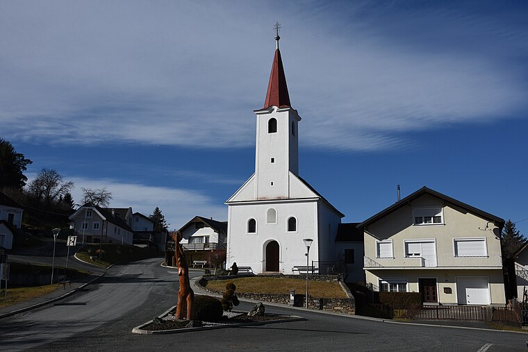
Church of St. Nikolaus, Lockenhaus
Church

Photo: Bwag, CC BY-SA 4.0.
The Church of Saints Nicholas is an early Baroque parish church located in the Güns Valley in Lockenhaus, in the Austrian state of Burgenland. It was built during the period of 1655 to 1669.
Former monastery in Lockenhaus
Castle

Photo: Bwag, CC BY-SA 4.0.
Former monastery in Lockenhaus is a castle.
Places in the Area
Nearby places include Hammerteich and Salmannsdorf.
Pullersberg
- Type: Peak with an elevation of 432 metres
- Category: landform
- Location: Austria, Central Europe, Europe
- View on OpenStreetMap
Latitude
47.4205° or 47° 25′ 14″ northLongitude
16.3859° or 16° 23′ 9″ eastElevation
432 metres (1,417 feet)Open location code
8FVRC9CP+59OpenStreetMap ID
node 8384324711OpenStreetMap feature
natural=peak
This page is based on OpenStreetMap, Wikidata, and Wikimedia Commons.
We’d love your help improving our open data sources. Thank you for contributing.
Satellite Map
Discover Pullersberg from above in high-definition satellite imagery.
Localities in the Area
Explore places such as Miniau and Hochstraß.
Notable Places Nearby
Highlights include Waldandacht and MMFC Lockenhaus.
Austria: Must-Visit Destinations
Delve into Vienna, Salzburg, Graz, and Innsbruck.
Curious Peaks to Discover
Uncover intriguing peaks from every corner of the globe.
About Mapcarta. Data © OpenStreetMap contributors and available under the Open Database License". Text is available under the CC BY-SA 4.0 license, except for photos, directions, and the map. Photo: Chensiyuan, CC BY-SA 4.0.