Urbanización San Antonio
Urbanización San Antonio is a neighborhood in Simón Rodríguez Municipality, Anzoátegui. Urbanización San Antonio is situated nearby to the neighborhood Urbanización Virgen del Valle, as well as near the quarter Parcelamiento Corpoindustrial.| Tap on a place to explore it |
Places in the Area
Nearby places include San Tomé.
San Tomé
Town
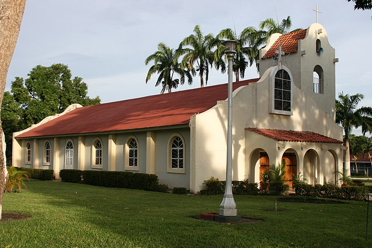
Photo: Gianfranco Cardogna, CC BY 2.0.
San Tomé is an oil company town, or camp, located about 8 miles northeast of the city of El Tigre, in the state of Anzoátegui in Venezuela. The town of San José de Guanipa, also called El Tigrito, lies between El Tigre and San Tomé. San Tomé is situated 10 km northeast of Urbanización San Antonio.
Urbanización San Antonio
- Type: Neighborhood
- Category: locality
- Location: Simón Rodríguez Municipality, Anzoátegui, Venezuela, South America
- View on OpenStreetMap
Latitude
8.8851° or 8° 53′ 6″ northLongitude
-64.20108° or 64° 12′ 4″ westOpen location code
67WQVQPX+2HOpenStreetMap ID
node 8392469927OpenStreetMap feature
place=neighbourhood
This page is based on OpenStreetMap, Wikidata, and Wikimedia Commons.
We’d love your help improving our open data sources. Thank you for contributing.
Satellite Map
Discover Urbanización San Antonio from above in high-definition satellite imagery.
Places with the Same Name
Discover other places named “Urbanización San Antonio”.
Localities in the Area
Explore places such as Urbanización Virgen del Valle and Parcelamiento Corpoindustrial.
Notable Places Nearby
Highlights include C.C. Multicentro Plaza and Iglesia Nuestra Señora de los Ángeles.
Venezuela: Must-Visit Destinations
Delve into Caracas, Mérida, Maracaibo, and Táchira.
Curious Neighborhoods to Discover
Uncover intriguing neighborhoods from every corner of the globe.
About Mapcarta. Data © OpenStreetMap contributors and available under the Open Database License". Text is available under the CC BY-SA 4.0 license, except for photos, directions, and the map. Photo: Rjcastillo, CC BY-SA 3.0.