Фрак
Фрак is a clothing store in Užice, Zlatibor District, Central Serbia. Фрак is situated nearby to the art gallery Bubica, as well as near the marketplace Робна пијаца Међај.| Tap on a place to explore it |
Places of Interest Nearby
Highlights include Radomir Antić Stadium and Saint George Church.
Radomir Antić Stadium
Stadium

Photo: Milosgr97, CC BY-SA 3.0.
The Radomir Antić Stadium, also nicknamed Begluk, is a multi-purpose stadium in Užice, Serbia. It is mainly used for football matches and hosts the home matches of FK Sloboda Užice of the Serbian First League. The stadium has a total capacity of 12,000. Radomir Antić Stadium is situated 330 metres southeast of Фрак.
Saint George Church
Church

Photo: Krle ue, CC BY 3.0 rs.
Saint George Church is situated 200 metres north of Фрак.
Užice Gymnasium
School
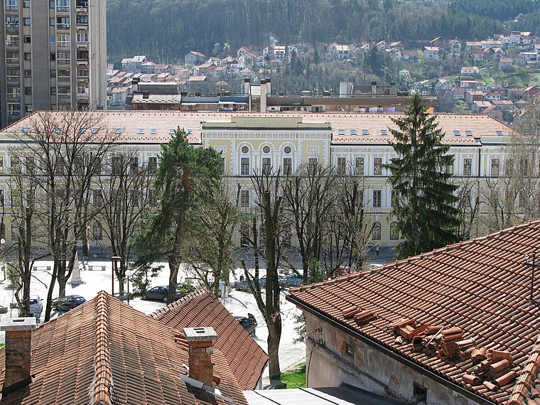
Photo: Aleksa47, Public domain.
Gymnasium of Užice is a secondary school in Užice, Serbia. Užice Gymnasium is situated 200 metres northwest of Фрак.
Places in the Area
Nearby places include Buar and Ljubanje.
Buar
Village
Buar is a village located in the Užice municipality of Serbia. In the 2002 census, the village had a population of 1415. Buar is situated 3½ km northwest of Фрак.
Ljubanje
Village

Photo: Kajzla, CC BY-SA 4.0.
Ljubanje is a village located in the Užice municipality of Serbia. In the 2002 census, the village had a population of 708. Ljubanje is situated 4½ km south of Фрак.
Sevojno
Town

Photo: Wikimedia, CC BY 3.0 rs.
Sevojno is a town in western Serbia, a suburb of Užice. Administratively, it is one of two city municipalities which constitute the City of Užice. As of 2011, the town has 7,101 inhabitants. Sevojno is situated 4½ km east of Фрак.
Фрак
- Type: Clothing store
- Also known as: “Frak”
- Category: shop
- Location: Užice, Zlatibor District, Central Serbia, Podrinje, Serbia, Balkans, Europe
- View on OpenStreetMap
Latitude
43.8542° or 43° 51′ 15″ northLongitude
19.84495° or 19° 50′ 42″ eastOpen location code
8FMXVR3V+MXOpenStreetMap ID
node 8395215253OpenStreetMap feature
shop=clothes
This page is based on OpenStreetMap, Wikidata, and Wikimedia Commons.
We’d love your help improving our open data sources. Thank you for contributing.
Satellite Map
Discover Фрак from above in high-definition satellite imagery.
Notable Places Nearby
Highlights include Bubica and Робна пијаца Међај.
Nearby Places
Explore places such as Липа and Јеремичак.
Podrinje: Must-Visit Destinations
Delve into Novi Pazar, Prijepolje, Zlatibor, and Kopaonik National Park.
Curious Clothing Stores to Discover
Uncover intriguing clothing stores from every corner of the globe.
About Mapcarta. Data © OpenStreetMap contributors and available under the Open Database License". Text is available under the CC BY-SA 4.0 license, except for photos, directions, and the map. Photo: Гојко031, CC BY 3.0.