Hügelgräberfeld Langentaler Wald
Hügelgräberfeld Langentaler Wald is an archaeological site in Oberpullendorf, Burgenland. Hügelgräberfeld Langentaler Wald is situated nearby to the pitch 1.MMFC.| Tap on a place to explore it |
Places of Interest Nearby
Highlights include Filialkirche Zur Unbefleckten Empfängnis, Langental and Pfarrkirche Mitterpullendorf.
Filialkirche Zur Unbefleckten Empfängnis, Langental
Church

Photo: Bwag, CC BY-SA 3.0 at.
Filialkirche Zur Unbefleckten Empfängnis, Langental is a church, which is situated 1¼ km north of Hügelgräberfeld Langentaler Wald.
Pfarrkirche Mitterpullendorf
Church

Photo: Bwag, CC BY-SA 3.0 at.
Pfarrkirche Mitterpullendorf is a church, which is situated 1½ km west of Hügelgräberfeld Langentaler Wald.
Pfarrkirche Unterpullendorf
Church

Photo: Ufoao, CC BY-SA 3.0 at.
Pfarrkirche Unterpullendorf is a church, which is situated 2 km south of Hügelgräberfeld Langentaler Wald.
Places in the Area
Nearby places include Liebing and Ólmod.
Liebing
Village
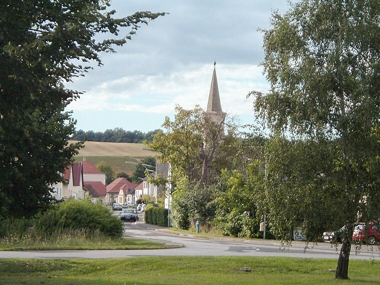
Photo: Wikimedia, Public domain.
Liebing is a village in the district of Oberpullendorf in Burgenland in Austria. It is part of the municipality of Mannersdorf an der Rabnitz. Liebing is situated 9 km south of Hügelgräberfeld Langentaler Wald.
Ólmod
Village

Photo: Nxr-at, CC BY-SA 4.0.
Ólmod is a village in Vas county, Hungary. Ólmod is situated 9 km southeast of Hügelgräberfeld Langentaler Wald.
Hügelgräberfeld Langentaler Wald
- Type: Archaeological site
- Description: building in Oberpullendorf, Austria
- Categories: grave field, historic site, tourist attraction, and tourism
- Location: Oberpullendorf, Oberpullendorf District, Burgenland, Austria, Central Europe, Europe
- View on OpenStreetMap
Latitude
47.49149° or 47° 29′ 29″ northLongitude
16.53859° or 16° 32′ 19″ eastOpen location code
8FVRFGRQ+HCOpenStreetMap ID
node 8436985730OpenStreetMap feature
historic=archaeological_siteWikidata ID
Q38178310
This page is based on OpenStreetMap, Wikidata, and Wikimedia Commons.
We’d love your help improving our open data sources. Thank you for contributing.
Satellite Map
Discover Hügelgräberfeld Langentaler Wald from above in high-definition satellite imagery.
In Other Languages
“Hügelgräberfeld Langentaler Wald” goes by many names.
- German: “Hügelgräberfeld Langentaler Wald”
Notable Places Nearby
Highlights include 1.MMFC and SF Oberpullendorf.
Nearby Places
Explore places such as BMV Müllbehandlungsanlage and Kläranlage.
Burgenland: Must-Visit Destinations
Delve into Eisenstadt, Neusiedl am See, Rust, and Güssing.
Curious Archaeological Sites to Discover
Uncover intriguing archaeological sites from every corner of the globe.
About Mapcarta. Data © OpenStreetMap contributors and available under the Open Database License". Text is available under the CC BY-SA 4.0 license, except for photos, directions, and the map. Photo: Wikimedia, CC BY-SA 4.0.