Ugrinića dvori
Ugrinića dvori is a castle in Pašman, Zadar County. Ugrinića dvori is situated nearby to the peak Požar, as well as near Veliki Prvenj.| Tap on a place to explore it |
Places of Interest Nearby
Highlights include Ćokovac monastery and Sveta Katarina.
Ćokovac monastery
Monastery

Photo: Maestralni, CC BY-SA 3.0.
Ćokovac monastery is situated 1¼ km northeast of Ugrinića dvori.
Sveta Katarina
Islet
 Sveta Katarina is an islet, which is situated 3½ km northeast of Ugrinića dvori.
Places in the Area
Nearby places include Tkon and Kraj.
Tkon
Village
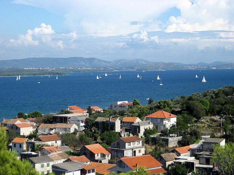
Photo: Andres rus, CC BY-SA 3.0.
Tkon is a municipality in the Zadar County in Croatia. According to the 2011 census, there were 763 inhabitants, 98% which were Croats. It is located on the island of Pašman and is connected by ferry to the mainland town of Biograd na Moru.
Kraj
Village

Photo: antonioskara, CC BY-SA 3.0.
Kraj is a village located in the southeast part of the island of Pašman, 3 km south of the village of Pašman, 300 m from the coast of the Pašman Channel in Dalmatia, Croatia.
Pašman
Village

Photo: Maestralni, CC BY-SA 3.0.
Pašman is a village, which is situated 4½ km north of Ugrinića dvori.
Ugrinića dvori
- Type: Castle
- Categories: historic site, tourist attraction, and tourism
- Location: Pašman, Zadar County, Croatia, Balkans, Europe
- View on OpenStreetMap
Latitude
43.91711° or 43° 55′ 2″ northLongitude
15.39614° or 15° 23′ 46″ eastOpen location code
8FMQW98W+RFOpenStreetMap ID
node 8455661303OpenStreetMap feature
historic=castle
This page is based on OpenStreetMap, Wikidata, and Wikimedia Commons.
We’d love your help improving our open data sources. Thank you for contributing.
Satellite Map
Discover Ugrinića dvori from above in high-definition satellite imagery.
Notable Places Nearby
Highlights include Požar and Veliki Prvenj.
Nearby Places
Explore places such as Veliki tor and Konoba Gajeta.
Croatia: Must-Visit Destinations
Delve into Zagreb, Dubrovnik, Split, and Rijeka.
Curious Castles to Discover
Uncover intriguing castles from every corner of the globe.
About Mapcarta. Data © OpenStreetMap contributors and available under the Open Database License". Text is available under the CC BY-SA 4.0 license, except for photos, directions, and the map. Photo: Coralie Ferreira, CC BY 2.5.