Marijino brdo
Marijino brdo is a peak in Lika-Senj County, Croatia and has an elevation of 691 metres. Marijino brdo is situated nearby to the hamlet Pernari, as well as near Perkovići.| Tap on a place to explore it |
Places in the Area
Nearby places include Lipice and Jezerane.
Lipice
Village
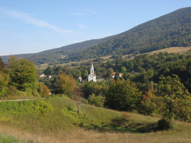
Photo: Roberta F., CC BY-SA 3.0.
Lipice is a village in the Lika-Senj County of Croatia, approximately 35 miles from the county's administrative center of Gospić. According to the 2021 census, Lipice had 98 inhabitants, all Croats.
Jezerane
Village

Photo: Fraxinus Croat, CC BY-SA 3.0.
Jezerane is a village in central Croatia, in the municipality of Brinje, in the northwestern part of Lika-Senj County. It is connected by the D23 highway.
Križpolje
Village

Photo: Roberta F., CC BY-SA 3.0.
Križpolje is a village in the Lika-Senj County, Croatia. The settlement is administered as a part of Brinje municipality. According to national census of 2001, population of the settlement is 655.
Marijino brdo
- Type: Peak with an elevation of 691 metres
- Category: landform
- Location: Lika-Senj County, Croatia, Balkans, Europe
- View on OpenStreetMap
Latitude
45.0114° or 45° 0′ 41″ northLongitude
15.2332° or 15° 13′ 59″ eastElevation
691 metres (2,267 feet)Open location code
8FQQ266M+H7OpenStreetMap ID
node 8458105888OpenStreetMap feature
natural=peak
This page is based on OpenStreetMap, Wikidata, and Wikimedia Commons.
We’d love your help improving our open data sources. Thank you for contributing.
Satellite Map
Discover Marijino brdo from above in high-definition satellite imagery.
Places with the Same Name
Discover other places named “Marijino brdo”.
Localities in the Area
Explore places such as Pernari and Perkovići.
Notable Places Nearby
Highlights include Gladno brdo and Negorski vrh.
Croatia: Must-Visit Destinations
Delve into Zagreb, Dubrovnik, Split, and Rijeka.
Curious Peaks to Discover
Uncover intriguing peaks from every corner of the globe.
About Mapcarta. Data © OpenStreetMap contributors and available under the Open Database License". Text is available under the CC BY-SA 4.0 license, except for photos, directions, and the map. Photo: Wikimedia, CC BY-SA 3.0.