Région Pays de la Loire
Région Pays de la Loire is a government office in Le Mans, Arrondissement du Mans, Pays de la Loire which is located on Boulevard Marie et Alexandre Oyon. Région Pays de la Loire is situated nearby to Le Mans Railway Station, as well as near Place Ariste Jacques Trouvé Chauvel.| Tap on a place to explore it |
Places of Interest Nearby
Highlights include Le Mans Railway Station and Gares.
Le Mans Railway Station
Railway station
 Le Mans is a railway station serving the town Le Mans, Sarthe department, western France. It is situated on the Paris–Brest railway, Le Mans–Angers railway and the non-electrified Tours–Le Mans railway.
Gares
Tram stop

Photo: IngolfBLN, CC BY-SA 2.0.
Gares is a tram stop, which is situated 130 metres northeast of Région Pays de la Loire.
Église Saint-Bertrand du Mans
Church
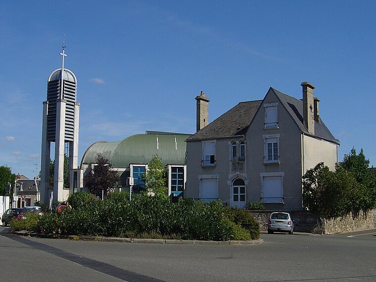
Photo: Éric Thiéry, CC BY-SA 4.0.
Église Saint-Bertrand du Mans is a church, which is situated 260 metres south of Région Pays de la Loire.
Places in the Area
Nearby places include Jean-Jaurès and Sainte-Croix.


Région Pays de la Loire
- Type: Government office
- Address: Boulevard Marie et Alexandre Oyon, Le Mans, 72100
- Categories: office and government building
- Location: Le Mans, Arrondissement du Mans, Sarthe, Pays de la Loire, France, Europe
- View on OpenStreetMap
Latitude
47.99445° or 47° 59′ 40″ northLongitude
0.19267° or 0° 11′ 34″ eastOpen location code
8FV2X5VV+Q3OpenStreetMap ID
node 8475763251OpenStreetMap feature
office=government
This page is based on OpenStreetMap, Wikidata, and Wikimedia Commons.
We’d love your help improving our open data sources. Thank you for contributing.
Satellite Map
Discover Région Pays de la Loire from above in high-definition satellite imagery.
Places with the Same Name
Discover other places named “Région Pays de la Loire”.
Notable Places Nearby
Highlights include Place Ariste Jacques Trouvé Chauvel and Adeline M.
Nearby Places
Explore places such as Eat Salad and Galaxie.
Pays de la Loire: Must-Visit Destinations
Delve into Montsoreau, Nantes, Angers, and Saint-Nazaire.
Curious Government Offices to Discover
Uncover intriguing government offices from every corner of the globe.
About Mapcarta. Data © OpenStreetMap contributors and available under the Open Database License". Text is available under the CC BY-SA 4.0 license, except for photos, directions, and the map. Photo: Wikimedia, CC0.