Barton’s Pond Bridge
Barton’s Pond Bridge is a locality in Aiken, South Carolina. Barton’s Pond Bridge is situated nearby to the locality Mrs. Allen’s Place, as well as near Peter’s Point.| Tap on a place to explore it |
Places of Interest
Highlights include Aiken Regional Medical Centers and Coker Spring.
Aiken Regional Medical Centers
Hospital
Aiken Regional Medical Centers is located in Aiken, South Carolina on University Parkway near the University of South Carolina Aiken. Aiken Regional Medical Centers opened its doors in 1917 as the Aiken Hospital and Relief Society. Aiken Regional Medical Centers is situated 1½ miles north of Barton’s Pond Bridge.
Coker Spring
Spring

Photo: Bigskybill, CC BY-SA 3.0.
Coker Spring is a fresh water spring located on Coker Spring Road in Aiken, South Carolina. This spring is formed by a "junction" where the water table intersects the ground surface and according to archaeological remains, has been used since prehistoric times. Coker Spring is situated 2 miles east of Barton’s Pond Bridge.
Pickens House
Historic house

Photo: Bigskybill, CC BY-SA 3.0.
The Pickens House, located in Aiken, South Carolina. It is reputed to have been built around 1829 by Governor Andrew Pickens for his son. In addition, the home is also noted for its early 19th century backcountry plantation architecture. Pickens House is situated 2 miles northwest of Barton’s Pond Bridge.
Places in the Area
Nearby places include Aiken and Warrenville.
Aiken

Photo: Savannah River Site, Public domain.
Aiken is the most populous city in, and the county seat of, Aiken County, South Carolina, United States. According to 2020 census, the population was 32,025, making it the 15th-most populous city in South Carolina, and one of the two largest cities of the Central Savannah River Area.
Warrenville
Village
Warrenville is a census-designated place in Aiken County, South Carolina, United States. The population was 1,233 at the 2010 census. It is located just south of Graniteville and is part of the Augusta, Georgia metropolitan area. Warrenville is situated 3 miles west of Barton’s Pond Bridge.
Graniteville
Town
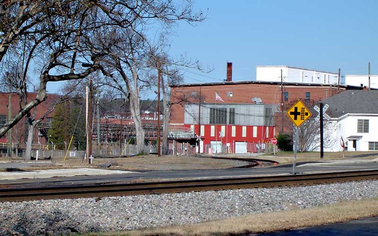
Photo: Hughespj, Public domain.
Graniteville is a census-designated place in Aiken County, South Carolina, United States. The population was 2,614 at the 2010 census. It lies along U.S. Route 1, five miles west of Aiken in Horse Creek Valley, which originates in the nearby town of Vaucluse. Graniteville is situated 3 miles west of Barton’s Pond Bridge.
Barton’s Pond Bridge
- Type: Locality
- Location: Aiken, South Carolina, South, United States, North America
- View on OpenStreetMap
Latitude
33.54866° or 33° 32′ 55″ northLongitude
-81.75613° or 81° 45′ 22″ westOpen location code
865WG6XV+FHOpenStreetMap ID
node 8481419227OpenStreetMap feature
place=locality
This page is based on OpenStreetMap, Wikidata, and Wikimedia Commons.
We’d love your help improving our open data sources. Thank you for contributing.
Satellite Map
Discover Barton’s Pond Bridge from above in high-definition satellite imagery.
Localities in the Area
Explore places such as Mrs. Allen’s Place and Peter’s Point.
Notable Places Nearby
Highlights include Pileated Patch and Nuthatch Hollow.
South Carolina: Must-Visit Destinations
Delve into Columbia, Charleston, Greenville, and Myrtle Beach.
Curious Localities to Discover
Uncover intriguing localities from every corner of the globe.
About Mapcarta. Data © OpenStreetMap contributors and available under the Open Database License". Text is available under the CC BY-SA 4.0 license, except for photos, directions, and the map. Photo: Rastapopulous, CC BY-SA 3.0.