Physiotherapie Mecke
Physiotherapie Mecke is a physiotherapist in Wächtersbach, Gelnhausen, Hesse. Physiotherapie Mecke is situated nearby to the recreation area GLOBUS Restaurant, as well as near the public building Heinrich-Heldmann-Halle.| Tap on a place to explore it |
Places of Interest Nearby
Highlights include Wächtersbach station and Evangelische Kirche.
Wächtersbach station
Railway station

Photo: Iotatau, CC BY-SA 3.0.
Wächtersbach station is a station in the town of Wächtersbach in the German state of Hesse on the Frankfurt–Göttingen railway. The former Bad Orb Light Railway branches off at the station. Wächtersbach station is situated 1 km northeast of Physiotherapie Mecke.
Evangelische Kirche
Church

Photo: Reinhardhauke, CC BY-SA 3.0.
Evangelische Kirche is a church, which is situated 1 km north of Physiotherapie Mecke.
Autal bei Bad Orb
Nature reserve
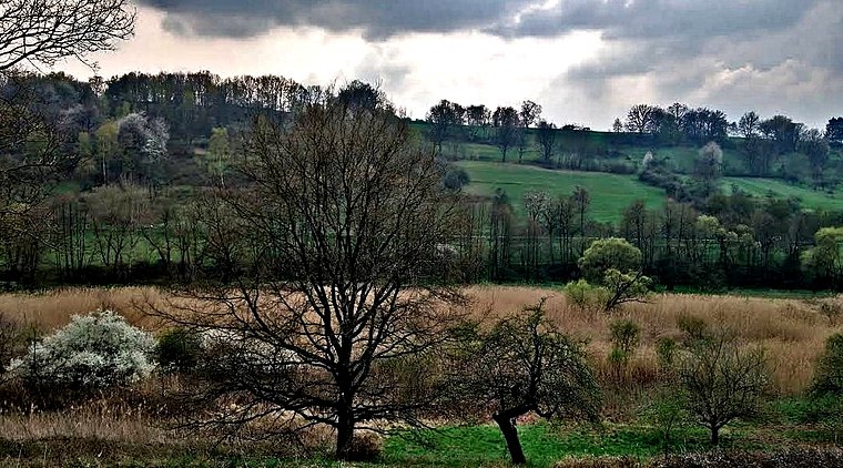
Photo: Nisre, CC BY-SA 4.0.
Autal bei Bad Orb is a nature reserve, which is situated 2½ km southeast of Physiotherapie Mecke.
Places in the Area
Nearby places include Neudorf and Hesseldorf.
Neudorf
Village

Photo: Björn, CC BY-SA 3.0.
Neudorf is a village, which is situated 3 km northeast of Physiotherapie Mecke.
Hesseldorf
Village
 Hesseldorf is a village, which is situated 3½ km northeast of Physiotherapie Mecke.
Kassel (Biebergemünd)
Village

Photo: Didelu, CC BY-SA 4.0.
Kassel (Biebergemünd) is a village, which is situated 4½ km south of Physiotherapie Mecke.
Physiotherapie Mecke
- Type: Physiotherapist
- Category: health care
- Location: Wächtersbach, Gelnhausen, South Hesse, Hesse, Germany, Central Europe, Europe
- View on OpenStreetMap
Latitude
50.24884° or 50° 14′ 56″ northLongitude
9.28225° or 9° 16′ 56″ eastOpen location code
9F2F67XJ+GVOpenStreetMap ID
node 8485424895OpenStreetMap feature
healthcare=physiotherapist
This page is based on OpenStreetMap, Wikidata, and Wikimedia Commons.
We’d love your help improving our open data sources. Thank you for contributing.
Satellite Map
Discover Physiotherapie Mecke from above in high-definition satellite imagery.
Notable Places Nearby
Highlights include GLOBUS Restaurant and Heinrich-Heldmann-Halle.
Nearby Places
Explore places such as Elisabeth-Curdts- Kindertagesstätte e.V. and Alten- und Pflegeheim AWO.
South Hesse: Must-Visit Destinations
Delve into Darmstadt, Bensheim, Lorsch, and Heppenheim.
Curious Physiotherapists to Discover
Uncover intriguing physiotherapists from every corner of the globe.
About Mapcarta. Data © OpenStreetMap contributors and available under the Open Database License". Text is available under the CC BY-SA 4.0 license, except for photos, directions, and the map. Photo: Lumpeseggl, CC BY-SA 3.0.