FF Baldingen
FF Baldingen is a fire station in Nördlingen, Donau-Ries, Bavaria. FF Baldingen is situated nearby to the community center Bude Baldingen Beverly Hills, as well as near the health club Clever Fit.| Tap on a place to explore it |
Places of Interest Nearby
Highlights include St. Gallus and Rieskrater Museum.
St. Gallus
Church
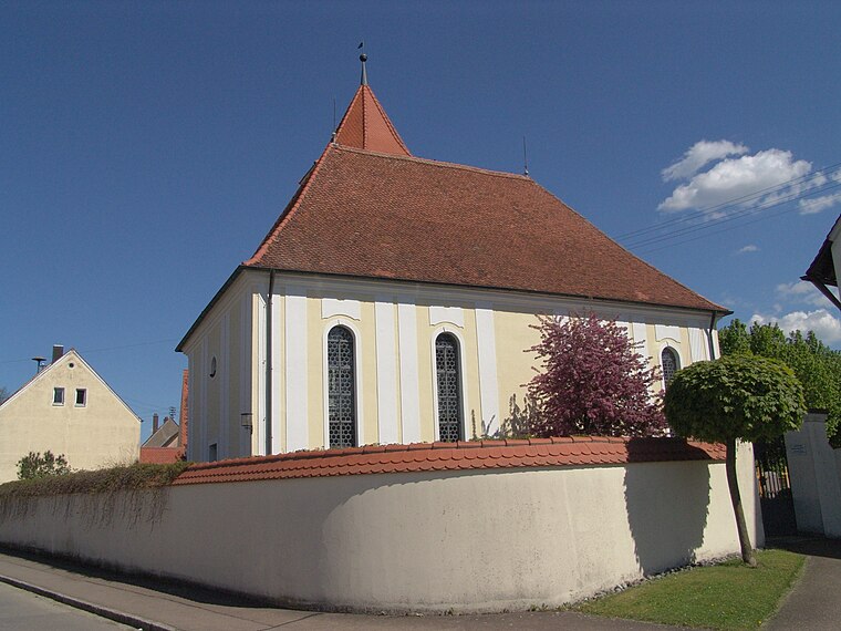
Photo: Tilman2007, CC BY-SA 3.0.
St. Gallus is a church, which is situated 180 metres east of FF Baldingen.
Rieskrater Museum
Museum

Photo: Tueftli, Public domain.
The Rieskrater Museum, sometimes known in English as the Ries Crater Museum, focuses on meteors and their collisions with Earth. The museum is housed in a 16th-century barn in Nördlingen, Germany which was part of the medieval city's center. Rieskrater Museum is situated 1¼ km east of FF Baldingen.
St. Georg (Nördlingen)
Church

Photo: Tkx, CC BY-SA 3.0.
St. Georg (Nördlingen) is a church, which is situated 1½ km southeast of FF Baldingen.
Places in the Area
Nearby places include Nähermemmingen and Herkheim.
Nähermemmingen
Village

Photo: Wolkenkratzer, CC BY-SA 4.0.
Nähermemmingen is a village, which is situated 2½ km southwest of FF Baldingen.
Herkheim
Village

Photo: War ich das etwa, CC BY-SA 3.0.
Herkheim is a part of the municipality of Nördlingen in Germany, in the region of Swabia. It has a population of 531… Herkheim is situated 4 km south of FF Baldingen.
Munzingen
Village

Photo: Tilman2007, CC BY-SA 3.0.
Munzingen is a village, which is situated 5 km north of FF Baldingen.
FF Baldingen
- Type: Fire station
- Postal code: 86720
- Location: Nördlingen, Donau-Ries, Bavarian Swabia, Bavaria, Germany, Central Europe, Europe
- View on OpenStreetMap
Latitude
48.85814° or 48° 51′ 29″ northLongitude
10.46993° or 10° 28′ 12″ eastOpen location code
8FWGVF59+7XOpenStreetMap ID
node 8494948421OpenStreetMap feature
amenity=fire_station
This page is based on OpenStreetMap, Wikidata, and Wikimedia Commons.
We’d love your help improving our open data sources. Thank you for contributing.
Satellite Map
Discover FF Baldingen from above in high-definition satellite imagery.
Notable Places Nearby
Highlights include Bude Baldingen Beverly Hills and Clever Fit.
Nearby Places
Explore places such as KITA Naseweis Baldingen and Grundschule Baldingen.
Bavarian Swabia: Must-Visit Destinations
Delve into Augsburg, Memmingen, Kempten, and Füssen.
Curious Fire Stations to Discover
Uncover intriguing fire stations from every corner of the globe.
About Mapcarta. Data © OpenStreetMap contributors and available under the Open Database License". Text is available under the CC BY-SA 4.0 license, except for photos, directions, and the map. Photo: Tilman2007, CC BY 3.0.