Ilna góra
Ilna góra is a peak in Szczecin, Zachodniopomorskie. Ilna góra is situated nearby to the neighborhood Starków, as well as near the locality Sarnisko.| Tap on a place to explore it |
Places of Interest
Highlights include Emerald Lake and Szczecin Dąbie Airfield.

Szczecin Dąbie Airfield
Aerodrome

Photo: Wikimedia, Public domain.
The Szczecin Dąbie Airfield, historically also known as Stettin Airfield, and Dąbie Lake Airfield, is a small airstrip on the Eastern bank of the Oder river in Dąbie, Szczecin, Poland.

Places in the Area
Nearby places include Dąbie and Zdroje.
Dąbie
Suburb
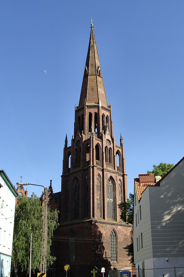
Photo: Kapitel, Public domain.
Dąbie is a former town and current municipal neighbourhood of the city of Szczecin in Poland, situated on the Płonia river, on the south coast of Dąbie Lake, on the right bank of Oder river, east of the Szczecin Old Town and Middle Town.
Zdroje
Suburb

Photo: MOs810, CC BY-SA 4.0.
Zdroje is a municipal neighborhood of the city of Szczecin, Poland situated on the right bank of the river East Oder, south-east of the Szczecin Old Town, and south-west of Dąbie, Szczecin.
Kołowo
Village
 Kołowo is a village in the administrative district of Gmina Stare Czarnowo, within Gryfino County, West Pomeranian Voivodeship, in north-western Poland.
Ilna góra
- Type: Peak
- Category: landform
- Location: Szczecin, Zachodniopomorskie, Poland, Central Europe, Europe
- View on OpenStreetMap
Latitude
53.3668° or 53° 22′ 1″ northLongitude
14.6383° or 14° 38′ 18″ eastOpen location code
9F5P9J8Q+P8OpenStreetMap ID
node 8516308260OpenStreetMap feature
natural=peak
This page is based on OpenStreetMap, Wikidata, and Wikimedia Commons.
We’d love your help improving our open data sources. Thank you for contributing.
Satellite Map
Discover Ilna góra from above in high-definition satellite imagery.
Localities in the Area
Explore places such as Starków and Sarnisko.
Notable Places Nearby
Highlights include Fontanna Rudolfa and Ruiny Sanatorium Bismarckhöhe.
Zachodniopomorskie: Must-Visit Destinations
Delve into Świnoujście, Koszalin, Kołobrzeg, and Police.
Curious Peaks to Discover
Uncover intriguing peaks from every corner of the globe.
About Mapcarta. Data © OpenStreetMap contributors and available under the Open Database License". Text is available under the CC BY-SA 4.0 license, except for photos, directions, and the map. Photo: Sicherlich, CC BY 3.0.