Lohmühlen & Fabrikschlote
Lohmühlen & Fabrikschlote is in Berlin, Berlin. Lohmühlen & Fabrikschlote is situated nearby to the bridge Lohmühlenbrücke, as well as near the meadow Wildwiese.| Tap on a place to explore it |
Places of Interest Nearby
Highlights include Lohmühlenbrücke and Weichselplatz.

Weichselplatz
Park

Photo: Nicor, CC BY-SA 3.0.
Weichselplatz is a park, which is situated 180 metres south of Lohmühlen & Fabrikschlote.
Marthakirche
Church
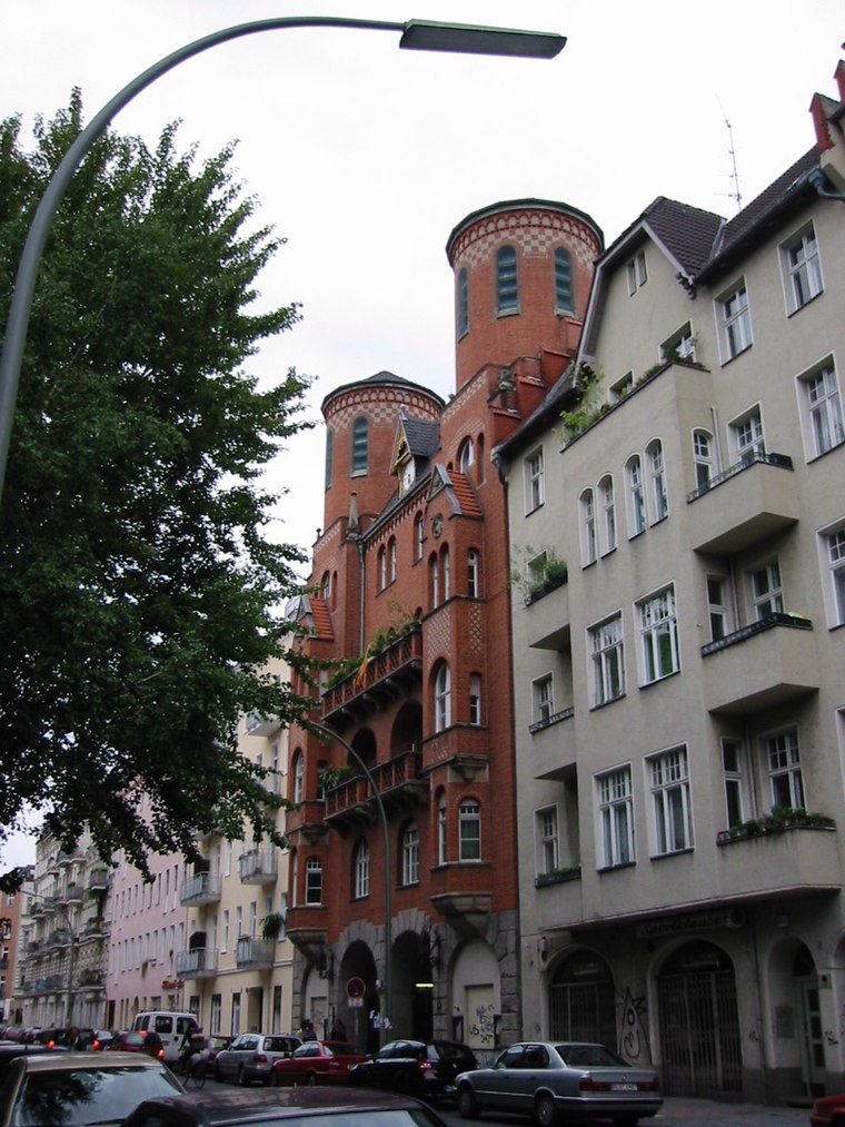
Photo: Lorem ipsum, CC BY-SA 2.0 de.
Marthakirche is a church, which is situated 370 metres northwest of Lohmühlen & Fabrikschlote.
Places in the Area
Nearby places include East Central and Rollbergsiedlung.
East Central

Photo: El passs, Public domain.
East Central is a trendy, bohemian, artsy area that consists of Kreuzberg, Friedrichshain, Prenzlauer Berg, Wedding and Gesundbrunnen. The western district Kreuzberg was merged with the eastern district Friedrichshain in 2001.
Rollbergsiedlung
Neighborhood

Photo: Lienhard Schulz, CC BY-SA 3.0.
Rollbergsiedlung is a neighborhood.
Mediaspree
Quarter

Photo: Jenny Paul, CC BY-SA 4.0.
Mediaspree is one of the largest property investment projects in Berlin. It aims to establish telecommunication and media companies along a section of the banks of the river Spree as well as to implement an urban renewal of the surrounding area.
Lohmühlen & Fabrikschlote
- Type: Sign
- Categories: information and tourism
- Location: Berlin, Berlin, Stadt, Berlin, Germany, Central Europe, Europe
- View on OpenStreetMap
Latitude
52.4895° or 52° 29′ 22″ northLongitude
13.43985° or 13° 26′ 24″ eastOpen location code
9F4MFCQQ+QWOpenStreetMap ID
node 8554405124OpenStreetMap feature
tourism=information
This page is based on OpenStreetMap, Wikidata, and Wikimedia Commons.
We’d love your help improving our open data sources. Thank you for contributing.
Satellite Map
Discover Lohmühlen & Fabrikschlote from above in high-definition satellite imagery.
Notable Places Nearby
Highlights include Wildwiese and Spielplatz Weichselplatz.
Nearby Places
Explore places such as Grenzen & Brücken and Berliner Mauer.
Berlin: Must-Visit Destinations
Delve into Mitte, East Central, City West, and East Berlin.
Curious Places to Discover
Uncover intriguing places from every corner of the globe.
About Mapcarta. Data © OpenStreetMap contributors and available under the Open Database License". Text is available under the CC BY-SA 4.0 license, except for photos, directions, and the map. Photo: Berthold Werner, CC BY-SA 3.0.