La Ville-ès-Marquer
La Ville-ès-Marquer is a hamlet in Bléruais, Arrondissement of Rennes, Brittany. La Ville-ès-Marquer is situated nearby to the hamlet Le Closel, as well as near Trémel.| Tap on a place to explore it |
Places of Interest
Highlights include Église Saint-Armel de Bléruais and Église Saint-Malo.
Église Saint-Armel de Bléruais
Church

Photo: PanierAvide, CC BY-SA 3.0.
Église Saint-Armel de Bléruais is a church.

Tombeau de Merlin

Photo: Raphodon, CC BY-SA 3.0.
The Tombeau de Merlin is a megalithic monument dating from the Neolithic period located in the Forest of Paimpont, at a place called La Marette near the hamlet of Landelles in Paimpont. Tombeau de Merlin is situated 3 km south of La Ville-ès-Marquer.
Places in the Area
Nearby places include Saint-Gonlay and Iffendic.
Saint-Gonlay
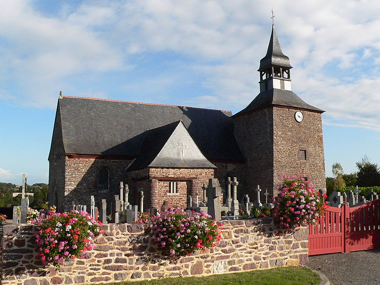
Photo: Floranne2006, CC BY-SA 3.0.
Saint-Gonlay is a commune in the department of Ille-et-Vilaine in Brittany. The Meu river goes through the town. There are 280 inhabitants in Saint-Gonlay and the territory stretches over 926 hectares.
Iffendic

Photo: Office de tourisme d…, CC BY 3.0.
Iffendic is a commune in the department of Ille-et-Vilaine in Brittany. The Meu River goes through the town. It is 20 km from Rennes and is surrounded by Montfort-sur-Meu, Bédée, La Nouaye, Breteil, Pleumeleuc, Talensac, Saint-Gonlay.
La Ville-ès-Marquer
- Type: Hamlet
- Category: locality
- Location: Bléruais, Arrondissement of Rennes, Ille-et-Vilaine, Brittany, France, Europe
- View on OpenStreetMap
Latitude
48.10636° or 48° 6′ 23″ northLongitude
-2.11227° or 2° 6′ 44″ westOpen location code
8CWV4V4Q+G3OpenStreetMap ID
node 857371022OpenStreetMap feature
place=hamlet
This page is based on OpenStreetMap, Wikidata, and Wikimedia Commons.
We’d love your help improving our open data sources. Thank you for contributing.
Satellite Map
Discover La Ville-ès-Marquer from above in high-definition satellite imagery.
Localities in the Area
Explore places such as Le Closel and Trémel.
Notable Places Nearby
Highlights include Place du Tilleul and Salle des Fêtes.
Brittany: Must-Visit Destinations
Delve into Rennes, Brest, Finistère, and Morbihan.
Curious Hamlets to Discover
Uncover intriguing hamlets from every corner of the globe.
About Mapcarta. Data © OpenStreetMap contributors and available under the Open Database License". Text is available under the CC BY-SA 4.0 license, except for photos, directions, and the map. Photo: Spendeau, CC BY-SA 3.0.