Bollée Monthéard
Bollée Monthéard is an electrical substation in Le Mans, Arrondissement du Mans, Pays de la Loire. Bollée Monthéard is situated nearby to the social service facility Ehpad Le Monthéard, as well as near the government office Caf de la Sarthe.| Tap on a place to explore it |
Places of Interest Nearby
Highlights include Le Mans Railway Station and Notre Dame de Sainte Croix, Le Mans.
Le Mans Railway Station
Railway station
 Le Mans is a railway station serving the town Le Mans, Sarthe department, western France. It is situated on the Paris–Brest railway, Le Mans–Angers railway and the non-electrified Tours–Le Mans railway. Le Mans Railway Station is situated 2 km west of Bollée Monthéard.
Notre Dame de Sainte Croix, Le Mans
Church
 Notre Dame de Sainte Croix is a Catholic church located in the city of Le Mans, France. The church gives its name to the neighborhood itself. It was the first site of the Congregation of Holy Cross. Notre Dame de Sainte Croix, Le Mans is situated 1 km northwest of Bollée Monthéard.
Église Saint-Bernard de Sablons
Church
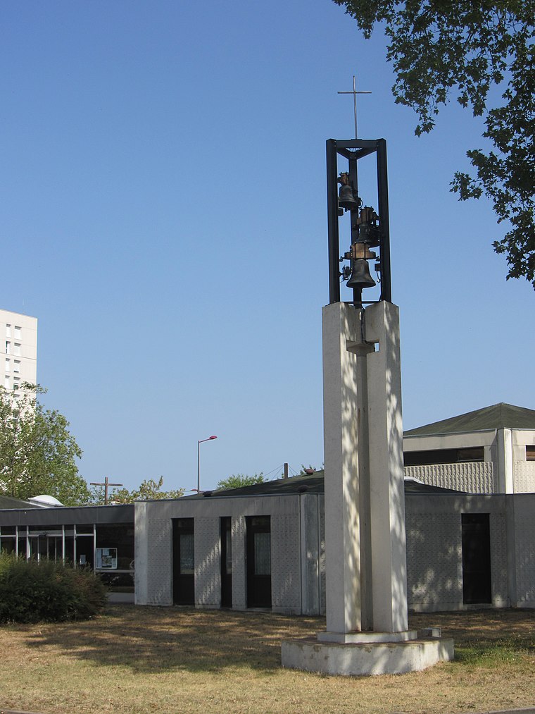
Photo: Nefer72, CC BY-SA 4.0.
Église Saint-Bernard de Sablons is a church, which is situated 1 km southeast of Bollée Monthéard.
Places in the Area
Nearby places include Sainte-Croix and Jean-Jaurès.


Bollée Monthéard
- Type: Electrical substation
- Category: industry
- Location: Le Mans, Arrondissement du Mans, Sarthe, Pays de la Loire, France, Europe
- View on OpenStreetMap
Latitude
47.99686° or 47° 59′ 49″ northLongitude
0.21701° or 0° 13′ 1″ eastOperator
EnedisOpen location code
8FV2X6W8+PROpenStreetMap ID
node 8580771826
This page is based on OpenStreetMap, Wikidata, and Wikimedia Commons.
We’d love your help improving our open data sources. Thank you for contributing.
Satellite Map
Discover Bollée Monthéard from above in high-definition satellite imagery.
Notable Places Nearby
Highlights include Ehpad Le Monthéard and Caf de la Sarthe.
Nearby Places
Explore places such as Crédit Mutuel and Espace Bollée.
Pays de la Loire: Must-Visit Destinations
Delve into Montsoreau, Nantes, Angers, and Saint-Nazaire.
Curious Electrical Substations to Discover
Uncover intriguing electrical substations from every corner of the globe.
About Mapcarta. Data © OpenStreetMap contributors and available under the Open Database License". Text is available under the CC BY-SA 4.0 license, except for photos, directions, and the map. Photo: Wikimedia, CC0.