Carrefour du Lièvre
Carrefour du Lièvre is in Lac-des-Rouges-Truites, Arrondissement of Saint-Claude, Bourgogne-Franche-Comté and has an elevation of 950 metres. Carrefour du Lièvre is situated nearby to the village Fort-du-Plasne, as well as near Saint-Laurent-en-Grandvaux.| Tap on a place to explore it |
Places of Interest Nearby
Highlights include Église de la Nativité de Lac-des-Rouges-Truites and Lac des Rouges Truites.
Église de la Nativité de Lac-des-Rouges-Truites
Church

Photo: Remdub, CC BY-SA 4.0.
Église de la Nativité de Lac-des-Rouges-Truites is a church, which is situated 1 km north of Carrefour du Lièvre.
Lac des Rouges Truites

Photo: Espirat, CC BY-SA 4.0.
Lac des Rouges Truites is a lake at the village of Lac-des-Rouges-Truites in the Jura department of France. Lac des Rouges Truites is situated 1½ km northeast of Carrefour du Lièvre.
Chalet du Coin d’Aval
Museum

Photo: Pmau, CC BY-SA 4.0.
Chalet du Coin d’Aval is a museum, which is situated 2½ km northwest of Carrefour du Lièvre.
Places in the Area
Nearby places include Fort-du-Plasne and Saint-Laurent-en-Grandvaux.
Fort-du-Plasne
Village
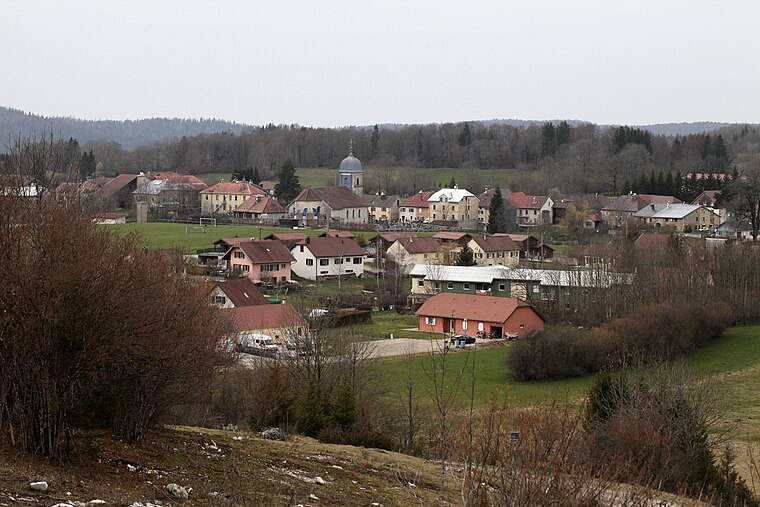
Photo: Pmau, CC BY-SA 4.0.
Fort-du-Plasne is a commune in the Jura department in Bourgogne-Franche-Comté in eastern France. Fort-du-Plasne is situated 2½ km north of Carrefour du Lièvre.
Saint-Laurent-en-Grandvaux
Village

Photo: Pmau, CC BY-SA 4.0.
Saint-Laurent-en-Grandvaux is a commune in the Jura department in the Bourgogne-Franche-Comté region in eastern France. Saint-Laurent-en-Grandvaux is situated 4 km southwest of Carrefour du Lièvre.
Foncine-le-Bas
Village

Photo: PRA, CC BY-SA 4.0.
Foncine-le-Bas is a commune in the Jura department in Bourgogne-Franche-Comté in eastern France. Foncine-le-Bas is situated 5 km northeast of Carrefour du Lièvre.
Carrefour du Lièvre
- Type: Sign
- Categories: information and tourism
- Location: Lac-des-Rouges-Truites, Arrondissement of Saint-Claude, Jura, Bourgogne-Franche-Comté, France, Europe
- View on OpenStreetMap
Latitude
46.59648° or 46° 35′ 47″ northLongitude
5.99757° or 5° 59′ 51″ eastElevation
950 metres (3,117 feet)Open location code
8FR7HXWX+H2OpenStreetMap ID
node 8589763580OpenStreetMap feature
tourism=information
This page is based on OpenStreetMap, Wikidata, and Wikimedia Commons.
We’d love your help improving our open data sources. Thank you for contributing.
Satellite Map
Discover Carrefour du Lièvre from above in high-definition satellite imagery.
Places with the Same Name
Discover other places named “Carrefour du Lièvre”.
Notable Places Nearby
Highlights include Salle Henry Fumey Badoz and Église Sainte-Marie-Madeleine de Fort-du-Plasne.
Nearby Places
Explore places such as Les Quatres Chemins and Cabane de la montée du Gy Milan.
Bourgogne-Franche-Comté: Must-Visit Destinations
Delve into Nièvre, Dijon, Besançon, and Vesoul.
Curious Places to Discover
Uncover intriguing places from every corner of the globe.
About Mapcarta. Data © OpenStreetMap contributors and available under the Open Database License". Text is available under the CC BY-SA 4.0 license, except for photos, directions, and the map. Photo: Juraastro, CC BY-SA 3.0.