vEATnam
vEATnam is a restaurant in Villach, Carinthia which is located on Italiener Straße. vEATnam is situated nearby to the casino WINWIN Villach, as well as near the playground Spielplatz Italienerstraße.| Tap on a place to explore it |
- Type: Restaurant
- Cuisine: Vietnamese
- Address: Italiener Straße 12, Villach, 9500
Places of Interest Nearby
Highlights include City Museum Villach and St. Jakob.
City Museum Villach
Museum

Photo: Johann Jaritz, CC BY-SA 4.0.
City Museum Villach is situated 240 metres north of vEATnam.
St. Jakob
Church

Photo: Johann Jaritz, CC BY-SA 4.0.
St. Jakob is a church, which is situated 290 metres northeast of vEATnam.
Town hall Villach
Town hall
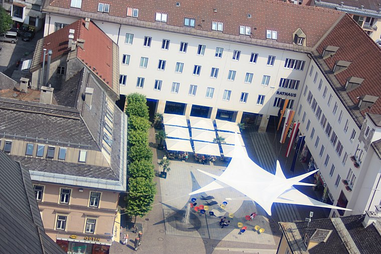
Photo: JJ55, Public domain.
Town hall Villach is situated 310 metres northeast of vEATnam.
Places in the Area
Nearby places include Maria Gail and Landskron.
Maria Gail
Suburb

Photo: Johann Jaritz, CC BY-SA 4.0.
Maria Gail is a suburb, which is situated 3 km southeast of vEATnam.
Landskron
Suburb

Photo: Bwag, CC BY-SA 4.0.
Landskron is a suburb, which is situated 4 km northeast of vEATnam.

vEATnam
- Category: food
- Location: Villach, Carinthia, Austria, Central Europe, Europe
- View on OpenStreetMap
Latitude
46.61105° or 46° 36′ 40″ northLongitude
13.84348° or 13° 50′ 37″ eastOpen location code
8FRMJR6V+C9OpenStreetMap ID
node 8593037299OpenStreetMap feature
amenity=restaurantOpenStreetMap attribute
cuisine=vietnamese
This page is based on OpenStreetMap, Wikidata, and Wikimedia Commons.
We’d love your help improving our open data sources. Thank you for contributing.
Satellite Map
Discover vEATnam from above in high-definition satellite imagery.
Notable Places Nearby
Highlights include WINWIN Villach and Spielplatz Italienerstraße.
Nearby Places
Explore places such as Hut Christl and Pizzeria Aroma.
Carinthia: Must-Visit Destinations
Delve into Klagenfurt, Wörthersee, Spittal an der Drau, and Friesach.
Curious Restaurants to Discover
Uncover intriguing restaurants from every corner of the globe.
About Mapcarta. Data © OpenStreetMap contributors and available under the Open Database License". Text is available under the CC BY-SA 4.0 license, except for photos, directions, and the map. Photo: Wikimedia, CC BY-SA 3.0.