Ottenhueb
Ottenhueb is in Wila, Pfäffikon District, Canton of Zurich. Ottenhueb is situated nearby to the sports venue Bonnie Ponies, as well as near the peak Schlossberg.| Tap on a place to explore it |
Places of Interest Nearby
Highlights include Hohenlandenberg Castle and Saland railway station.
Hohenlandenberg Castle
Castle

Photo: Parpan05, CC BY-SA 3.0.
Hohenlandenberg Castle is a castle in the municipality of Wila and the canton of Zurich in Switzerland. It is a Swiss heritage site of national significance. Hohenlandenberg Castle is situated 1½ km southwest of Ottenhueb.
Saland railway station
Railway station

Photo: Kabelleger, CC BY-SA 3.0.
Saland railway station is a railway station in the Swiss canton of Zurich. The station is situated in the municipality of Bauma and takes its name from the nearby village of Saland. Saland railway station is situated 2½ km southwest of Ottenhueb.
Wila railway station
Railway station

Photo: Roland zh, CC BY-SA 3.0.
Wila railway station is a railway station in the Swiss canton of Zurich and municipality of Wila. The station is located on the Töss Valley railway line between Winterthur and Rüti ZH, within fare zone 171 of the Zürcher Verkehrsverbund. Wila railway station is situated 3 km northwest of Ottenhueb.
Places in the Area
Nearby places include Sternenberg and Sitzberg.
Sternenberg
Village

Photo: Wikimedia, CC BY-SA 3.0.
Sternenberg is a former municipality in the district of Pfäffikon in the canton of Zürich in Switzerland. Bauma and Sternenberg merged to Bauma on 1 January 2015. Sternenberg is situated 3 km southeast of Ottenhueb.
Sitzberg
Hamlet

Photo: 1-Byte, CC BY-SA 4.0.
Sitzberg is a hamlet, which is situated 3 km northeast of Ottenhueb.
Bauma
Village
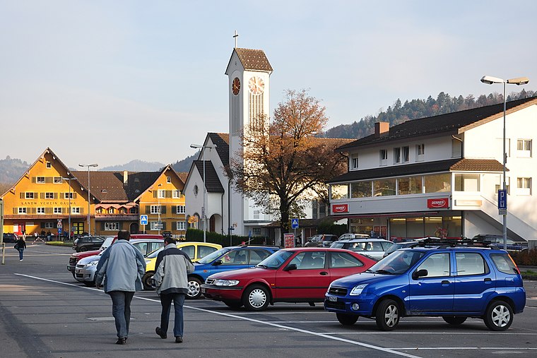
Photo: Roland zh, CC BY-SA 3.0.
Bauma is a municipality in the district of Pfäffikon in the canton of Zurich in Switzerland. Bauma is situated 4 km south of Ottenhueb.
Ottenhueb
- Type: Sign
- Categories: information and tourism
- Location: Wila, Pfäffikon District, Canton of Zurich, Switzerland, Central Europe, Europe
- View on OpenStreetMap
Latitude
47.4041° or 47° 24′ 15″ northLongitude
8.88298° or 8° 52′ 59″ eastElevation
740 metres (2,428 feet)Operator
Zürcher WanderwegeOpen location code
8FVCCV3M+J5OpenStreetMap ID
node 8629348770OpenStreetMap feature
tourism=information
This page is based on OpenStreetMap, Wikidata, and Wikimedia Commons.
We’d love your help improving our open data sources. Thank you for contributing.
Satellite Map
Discover Ottenhueb from above in high-definition satellite imagery.
Notable Places Nearby
Highlights include Bonnie Ponies and Giessen Arschbach.
Nearby Places
Explore places such as Truben and Hinter-Auli.
Switzerland: Must-Visit Destinations
Delve into Zurich, Berne, Geneva, and Basel.
Curious Places to Discover
Uncover intriguing places from every corner of the globe.
About Mapcarta. Data © OpenStreetMap contributors and available under the Open Database License". Text is available under the CC BY-SA 4.0 license, except for photos, directions, and the map. Photo: Roland zh, CC BY-SA 3.0.