Ehemaliger Drau Übergang / Fähre
Ehemaliger Drau Übergang / Fähre is in Villach, Carinthia. Ehemaliger Drau Übergang / Fähre is situated nearby to the church Pfarrkirche St. Niklas an der Drau (Villach), as well as near the grassland Liegewiese.| Tap on a place to explore it |
Places of Interest Nearby
Highlights include Pfarrkirche St. Niklas an der Drau (Villach) and Fortification Wauberg.
Pfarrkirche St. Niklas an der Drau (Villach)
Church
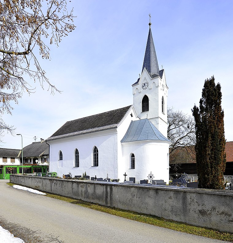
Photo: Johann Jaritz, CC BY-SA 3.0 at.
Pfarrkirche St. Niklas an der Drau (Villach) is a church, which is situated 210 metres south of Ehemaliger Drau Übergang / Fähre.
Fortification Wauberg
Castle

Photo: Naturpuur, CC BY-SA 4.0.
Fortification Wauberg is a castle, which is situated 1½ km south of Ehemaliger Drau Übergang / Fähre.
Filialkirche St. Ulrich (Villach)
Church

Photo: Johann Jaritz, CC BY-SA 4.0.
Filialkirche St. Ulrich (Villach) is a church, which is situated 2½ km west of Ehemaliger Drau Übergang / Fähre.
Places in the Area
Nearby places include Egg am Faaker See and Wernberg.

Wernberg
Village

Photo: Johann Jaritz, CC BY-SA 3.0.
Wernberg is a municipality in the district of Villach-Land in the Austrian state of Carinthia. Wernberg is situated 3 km north of Ehemaliger Drau Übergang / Fähre.

Ehemaliger Drau Übergang / Fähre
- Type: Sign
- Categories: information and tourism
- Location: Villach, Carinthia, Austria, Central Europe, Europe
- View on OpenStreetMap
Latitude
46.60146° or 46° 36′ 5″ northLongitude
13.94439° or 13° 56′ 40″ eastOperator
Österreichische Draukraft AktiengesellschaftOpen location code
8FRMJW2V+HQOpenStreetMap ID
node 8666083932OpenStreetMap feature
tourism=information
This page is based on OpenStreetMap, Wikidata, and Wikimedia Commons.
We’d love your help improving our open data sources. Thank you for contributing.
Satellite Map
Discover Ehemaliger Drau Übergang / Fähre from above in high-definition satellite imagery.
Notable Places Nearby
Highlights include Liegewiese and Tennisplätze Legrand.
Nearby Places
Explore places such as Frühstückspension Draublick and Kirchenwirt.
Carinthia: Must-Visit Destinations
Delve into Klagenfurt, Wörthersee, Spittal an der Drau, and Friesach.
Curious Places to Discover
Uncover intriguing places from every corner of the globe.
About Mapcarta. Data © OpenStreetMap contributors and available under the Open Database License". Text is available under the CC BY-SA 4.0 license, except for photos, directions, and the map. Photo: Wikimedia, CC BY-SA 3.0.