Chapman St, 160
Chapman St, 160 is a bus stop in Dunedin City, Otago. Chapman St, 160 is situated nearby to Balmacewen Intermediate School, as well as near Maori Hill School.| Tap on a place to explore it |
Places of Interest Nearby
Highlights include Balmacewen Intermediate School and Maori Hill School.
Balmacewen Intermediate School
School
Balmacewen Intermediate School is a state co-educational intermediate school located in Wakari, Dunedin, New Zealand. It has 21 regular classrooms and 4 technology classes, involving Hard Materials, Food Technology, Textiles, and Art. Balmacewen Intermediate School is situated 590 metres southwest of Chapman St, 160.
Maori Hill School
School
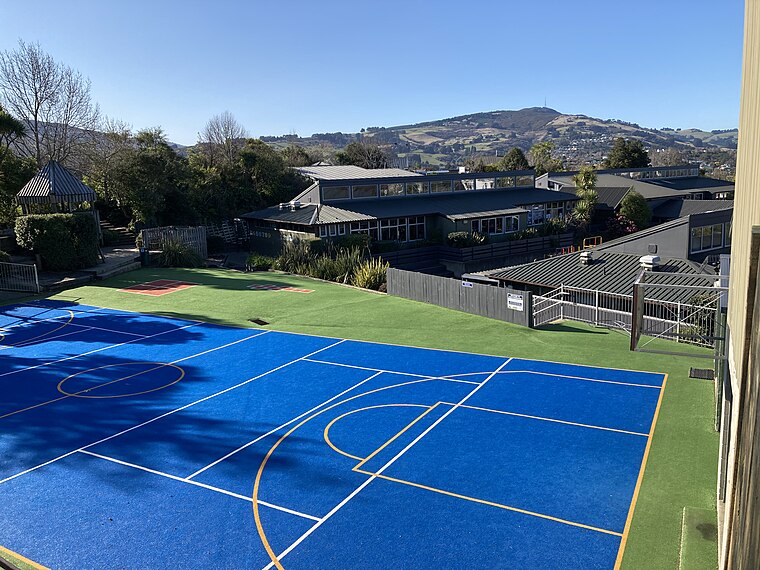
Photo: DrThneed, CC BY-SA 3.0.
Maori Hill School is situated 600 metres southeast of Chapman St, 160.
Tūhura Otago Museum
Museum
Tūhura Otago Museum, located near the city center of Dunedin, New Zealand, adjacent to the University of Otago campus, is one of the country's largest museums and a prominent attraction in the city. Tūhura Otago Museum is situated 2 km southeast of Chapman St, 160.
Places in the Area
Nearby places include Maori Hill and Wakari.
Maori Hill
Suburb
Maori Hill is a residential suburb of the New Zealand city of Dunedin. It is located at the northern end of the ridge which runs in a crescent around the central city's western edge, 2 kilometres to the northwest of the city centre, immediately above and within the Town Belt.
Wakari
Suburb
Wakari is a residential suburb of the New Zealand city of Dunedin. It is located 2.5 kilometres to the northwest of the city centre, immediately to the west of the ridge which runs to the west of the city's centre.
Helensburgh
Suburb
Helensburgh is a suburb of the New Zealand city of Dunedin. It is located to the northwest of the city centre. Helensburgh is located immediately to the north of Wakari and east of Halfway Bush.
Chapman St, 160
- Type: Bus stop
- Category: transportation
- Location: Dunedin City, Otago, South Island, New Zealand, Oceania
- View on OpenStreetMap
Latitude
-45.85471° or 45° 51′ 17″ southLongitude
170.49359° or 170° 29′ 37″ eastNetwork
ORCOpen location code
4V6G4FWV+4COpenStreetMap ID
node 8748365960OpenStreetMap feature
highway=bus_stopOpenStreetMap feature
public_transport=platform
This page is based on OpenStreetMap, Wikidata, and Wikimedia Commons.
We’d love your help improving our open data sources. Thank you for contributing.
Satellite Map
Discover Chapman St, 160 from above in high-definition satellite imagery.
Notable Places Nearby
Highlights include Waterfall and McMillan Park.
Nearby Places
Explore places such as Chapman St, opposite 160 and Balmacewen Rd, 109.
Otago: Must-Visit Destinations
Delve into Dunedin, Port Chalmers, Alexandra, and Oamaru.
Curious Bus Stops to Discover
Uncover intriguing bus stops from every corner of the globe.
About Mapcarta. Data © OpenStreetMap contributors and available under the Open Database License". Text is available under the CC BY-SA 4.0 license, except for photos, directions, and the map. Photo: Tiimta, CC BY-SA 3.0.