Vörösfenyők
Vörösfenyők is a locality in Veszprém County, Central Transdanubia. Vörösfenyők is situated nearby to the locality Gesztenyés, as well as near Bazalt gödrök.| Tap on a place to explore it |
Places of Interest
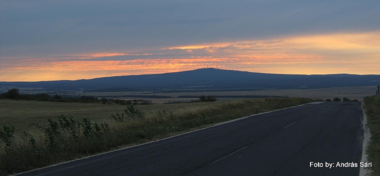
Highlights include Kab Hill.
Places in the Area
Nearby places include Nagyvázsony Military Base and Ajka.
Nagyvázsony Military Base
Locality

Photo: Christo, CC BY-SA 4.0.
Nagyvázsony Military Base is a locality, which is situated 5 km southeast of Vörösfenyők.
Ajka
Town

Photo: Globetrotter19, CC BY-SA 3.0.
Ajka is a city in Hungary with about 27,000 inhabitants. It is situated in the hills of Bakony. Ajka is situated 9 km northwest of Vörösfenyők.
Nemesleányfalu
Hamlet

Photo: Darinko, Public domain.
Nemesleányfalu is a hamlet, which is situated 10 km south of Vörösfenyők.
Vörösfenyők
- Type: Locality
- Location: Veszprém County, Central Transdanubia, Hungary, Central Europe, Europe
- View on OpenStreetMap
Latitude
47.06469° or 47° 3′ 53″ northLongitude
17.65695° or 17° 39′ 25″ eastOpen location code
8FVV3M74+VQOpenStreetMap ID
node 8749013837OpenStreetMap feature
place=locality
This page is based on OpenStreetMap, Wikidata, and Wikimedia Commons.
We’d love your help improving our open data sources. Thank you for contributing.
Satellite Map
Discover Vörösfenyők from above in high-definition satellite imagery.
Localities in the Area
Explore places such as Gesztenyés and Bazalt gödrök.
Notable Places Nearby
Highlights include Fortuna-barlang and kis tó.
Veszprém County: Must-Visit Destinations
Delve into Veszprém, Pápa, Sümeg, and Várpalota.
Curious Localities to Discover
Uncover intriguing localities from every corner of the globe.
About Mapcarta. Data © OpenStreetMap contributors and available under the Open Database License". Text is available under the CC BY-SA 4.0 license, except for photos, directions, and the map. Photo: Wikimedia, CC0.