Fällimoos
Fällimoos is a kindergarten in Biberist, Wasseramt District, Canton of Solothurn. Fällimoos is situated nearby to St. Maria parish church, as well as near the pitch Fussballplatz Häslimattstrasse.| Tap on a place to explore it |
Places of Interest Nearby
Highlights include Biberist RBS railway station and St. Maria parish church.
Biberist RBS railway station
Railway station

Photo: Ikiwaner, CC BY-SA 3.0.
Biberist RBS railway station is a railway station in the municipality of Biberist, in the Swiss canton of Solothurn. It is an intermediate stop on the 1,000 mm gauge Solothurn–Worblaufen line of Regionalverkehr Bern-Solothurn. Biberist RBS railway station is situated 610 metres southwest of Fällimoos.
St. Maria parish church
Church

Photo: Ch-info.ch, CC BY 3.0.
St. Maria parish church is situated 510 metres southwest of Fällimoos.
Biberist Ost railway station
Railway station
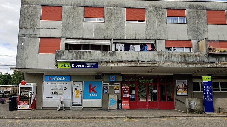 Biberist Ost railway station is a railway station in the municipality of Biberist, in the Swiss canton of Solothurn. It is an intermediate stop on the standard gauge Solothurn–Langnau line of BLS AG. Biberist Ost railway station is situated 720 metres south of Fällimoos.
Places in the Area
Nearby places include Zuchwil and Derendingen.
Zuchwil
Village

Photo: IqRS, CC BY-SA 2.0 de.
Zuchwil is a municipality in the district of Wasseramt in the canton of Solothurn in Switzerland.
Derendingen
Village

Photo: Daniel Guggisberg, CC BY-SA 3.0.
Derendingen is a municipality in the district of Wasseramt in the canton of Solothurn in Switzerland.
Gerlafingen
Village

Photo: Ch-info.ch, CC BY-SA 3.0.
Gerlafingen is a municipality in the district of Wasseramt in the canton of Solothurn in Switzerland.
Fällimoos
- Type: Kindergarten
- Category: education
- Location: Biberist, Wasseramt District, Canton of Solothurn, Switzerland, Central Europe, Europe
- View on OpenStreetMap
Latitude
47.18674° or 47° 11′ 12″ northLongitude
7.56283° or 7° 33′ 46″ eastOpen location code
8FV95HP7+M4OpenStreetMap ID
node 8762245002OpenStreetMap feature
amenity=kindergarten
This page is based on OpenStreetMap, Wikidata, and Wikimedia Commons.
We’d love your help improving our open data sources. Thank you for contributing.
Satellite Map
Discover Fällimoos from above in high-definition satellite imagery.
Notable Places Nearby
Highlights include Fussballplatz Häslimattstrasse and Schneggenpark Biberist.
Nearby Places
Explore places such as Bromegg and Biberist, Bromegg.
Switzerland: Must-Visit Destinations
Delve into Zurich, Berne, Geneva, and Basel.
Curious Kindergartens to Discover
Uncover intriguing kindergartens from every corner of the globe.
About Mapcarta. Data © OpenStreetMap contributors and available under the Open Database License". Text is available under the CC BY-SA 4.0 license, except for photos, directions, and the map. Photo: Simonizer, CC BY-SA 2.0 de.